 ,
OpenStreetMap
(updated!)
,
OpenStreetMap
(updated!)
,
OpenStreetMap
(updated!)
,
OpenStreetMap
(updated!)

Comments:
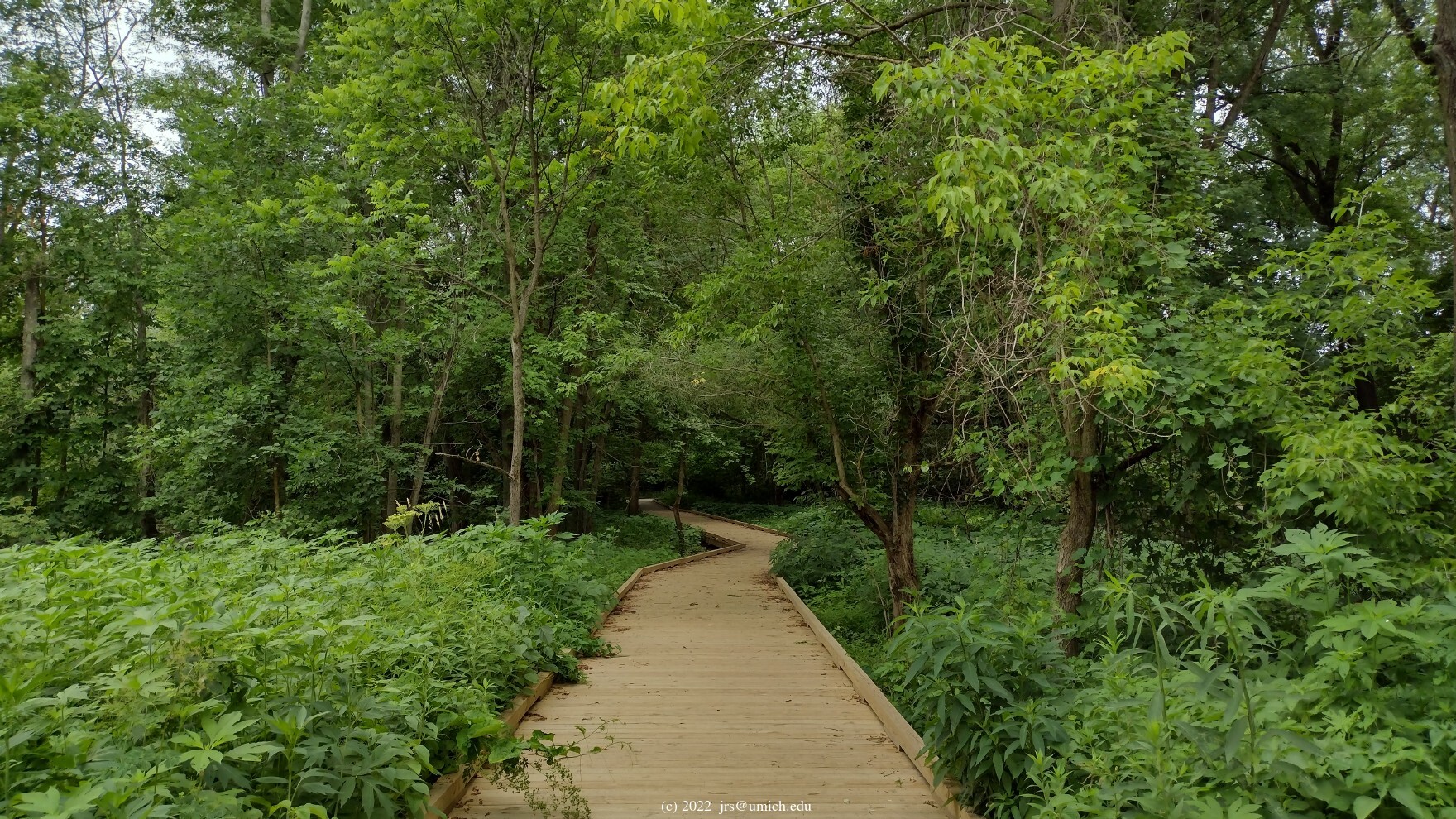
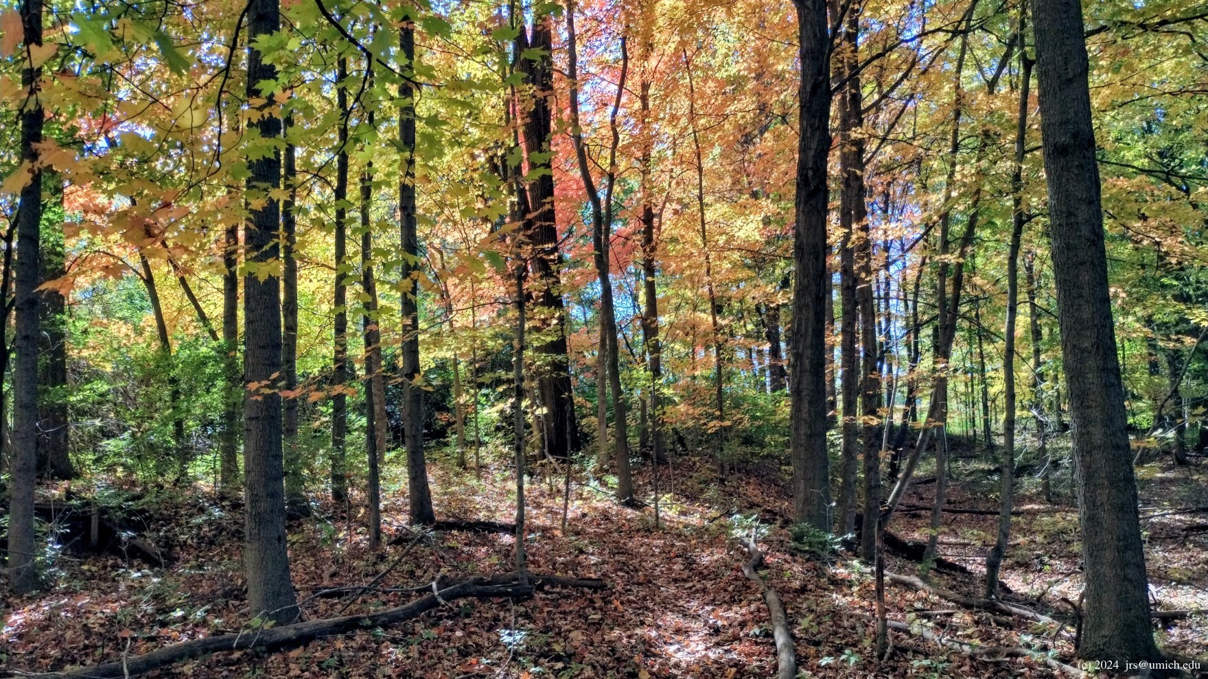
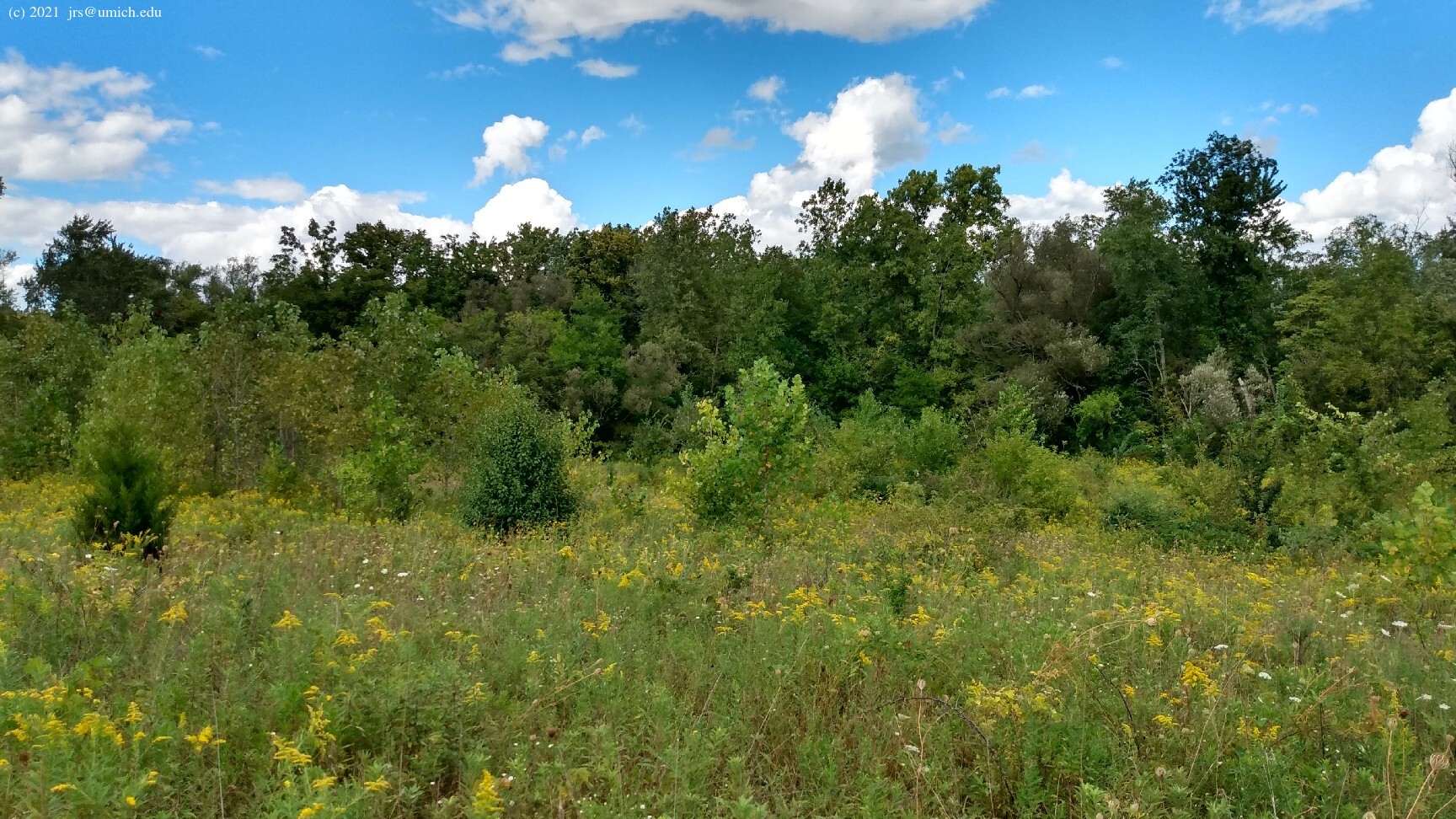
This preserve has an interesting mix of meadows, forest and
waterways. The initial trail segment takes you to a bridge across the
Saline River. If you subsequently favor the right-hand branch at
each fork, you get into a repeating cycle of meadow, creek and woods.
The creeks are muddy trickles most of the time -- they spring to life
only after periods of substantial rainfall. On such occasions,
some areas of the preserve may be especially muddy or even
submerged
under standing water  .
.
There is also a loop in the southeast corner of the preserve (shown in red on the trail maps) that is disconnected from the rest of the trail network. You can reach it by following the trail segment (shown in blue on the 2018 version of the map) that leads to Platt Road. Head north on Platt and look for the loop trailhead on your left. A grand tour that includes this loop is probably 2.75 miles long.
The 2016 version of the trail map shows a short spur leading
northwest from the red loop. Following it entails climbing under and
over a few fallen trees. The reward is another
glimpse
of the Saline River .
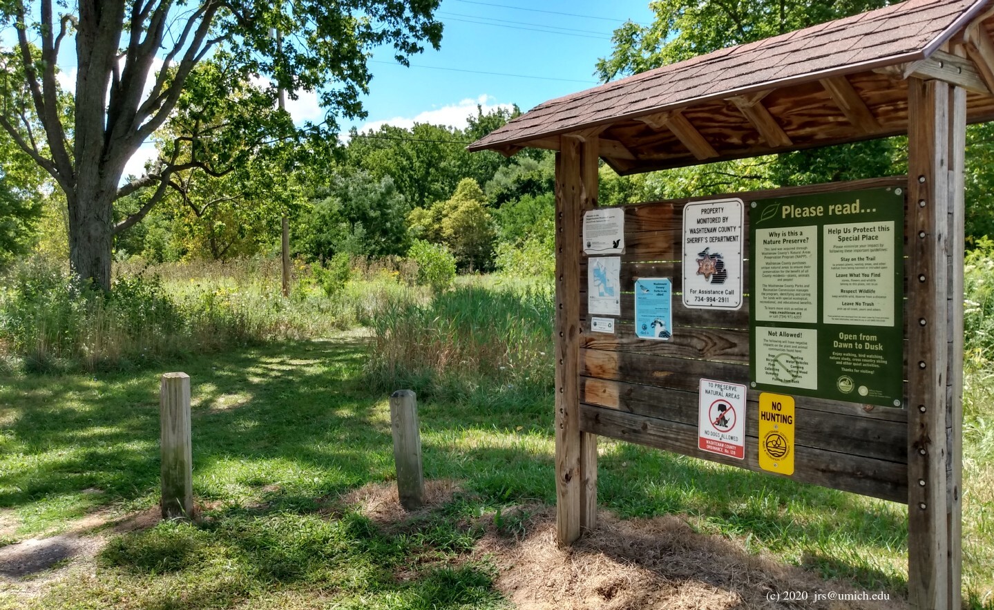
No dogs, bikes, or hunting allowed.
2024 News:
The OpenStreetMap has been updated recently and now has a reasonably
accurate layout of the trails. I've used it to save a copy of my
preferred route on
MapPedometer .
Old News: Some heavy storms in June of 2021 damaged a boardwalk that passes over a swampy area next to the bridge across the Saline River. The boardwalk had to be closed for repairs, resulting in nearly all of the preserve being unreachable from the parking lot and trailhead on Mooreville Road. Fortunately the boardwalk repairs are complete as of April 2022 and the preserve is again fully open.
Directions: One option from Ann Arbor is to head south on US-23. Take Exit 25 in Milan, then left (northwest) onto Main St. Follow Main for about 1.6 miles, noting that it becomes Mooreville Road along the way. The entrance to the preserve will be on your left, about 1/4 mile past the Kroger (also on your left).
Or, take the longer scenic route. From Main Street in Ann Arbor south of the stadium, head south on Ann Arbor-Saline Road until it ends about 14 miles later. Note that it becomes Saline-Milan Road after passing through Saline. The end is at a T intersection with Mooreville Road. Turn left onto Mooreville and look for the entrance to the preserve on the right after 0.4 miles.
If the small parking lot at the preserve is full,
an alternative is to park at the
Milan Nature Park
on Platt Road. The preserve's Red and Blue Trails have entry
points on the opposite side of Platt from the park.
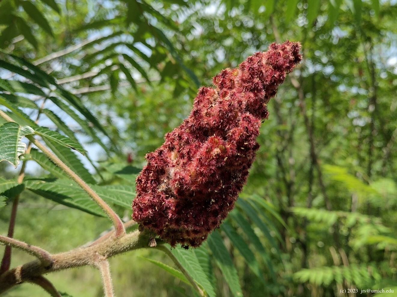
Excerpt from the website: Just west of the city of Milan, the preserve protects over one-half mile of Saline River shoreline. At the preserve, you will encounter high-quality floodplain forest habitat with oak, walnut, butternut, and sycamore trees. Of particular interest is a significant stand of pawpaw, a small, understory tree with a banana-like fruit, which is uncommon in Washtenaw County.
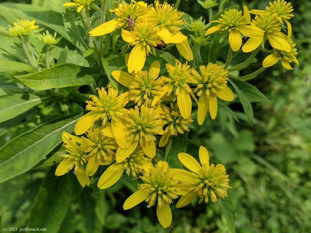
In the southern portion of the property, visitors will find a lovely mature woodlot and two creeks meandering through hedgerows on their way to the Saline River. The woods and hedgerows offer an attractive spring wildflower display.