 , parking at
Superior Township Hall
,
Superior Greenway ,
Meyer Preserve
, parking at
Superior Township Hall
,
Superior Greenway ,
Meyer Preserve
, parking at
Superior Township Hall
,
Superior Greenway ,
Meyer Preserve
, parking at
Superior Township Hall
,
Superior Greenway ,
Meyer Preserve
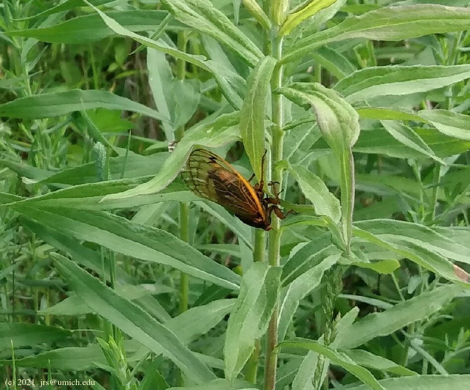
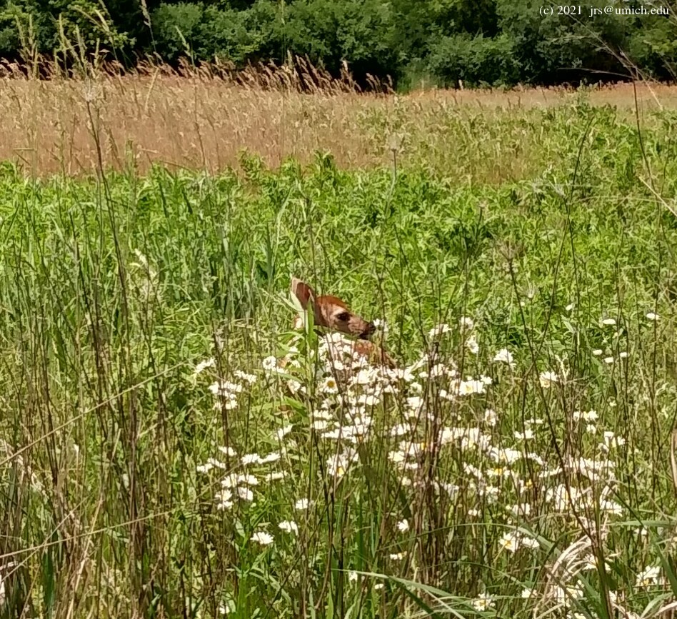
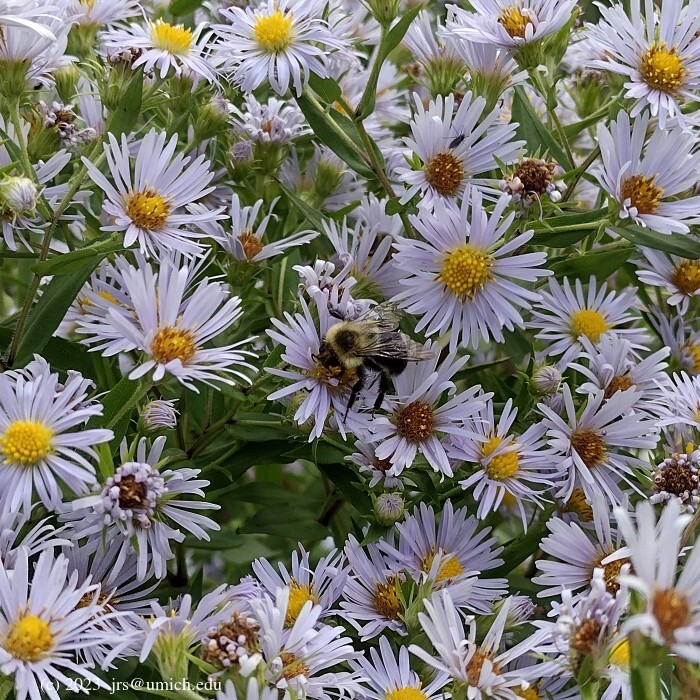
Photos from the LeFurge Woods:
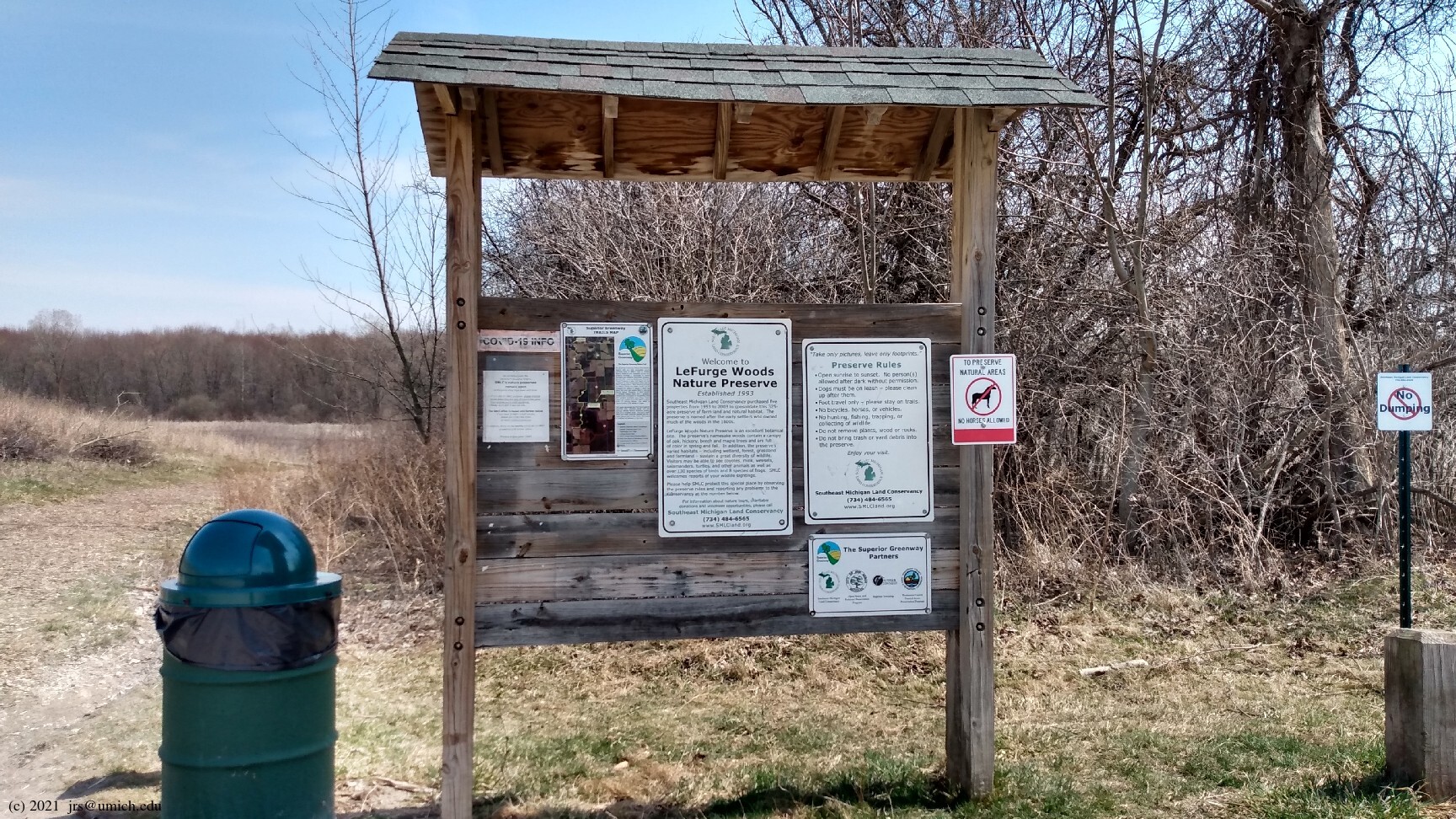
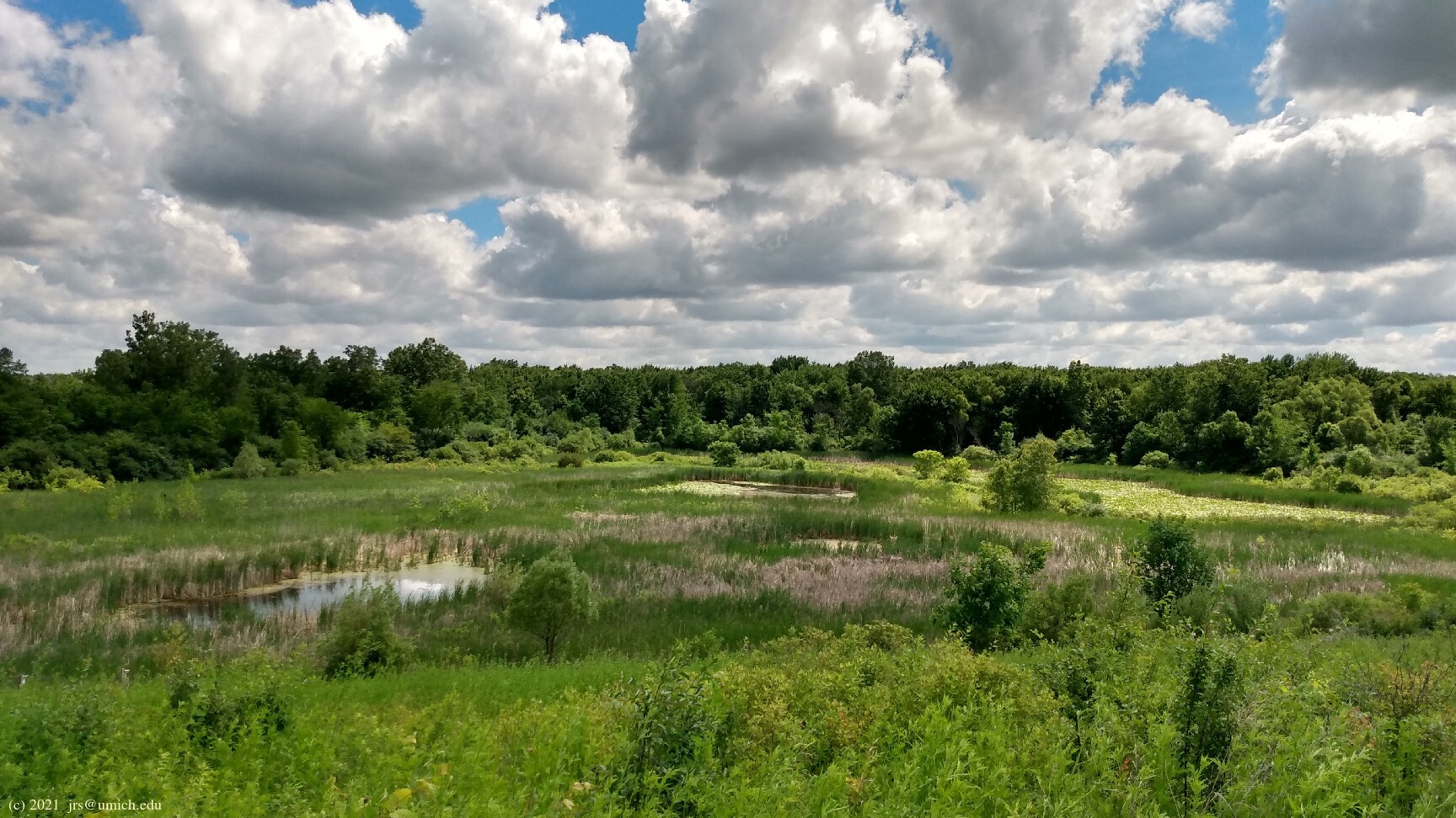
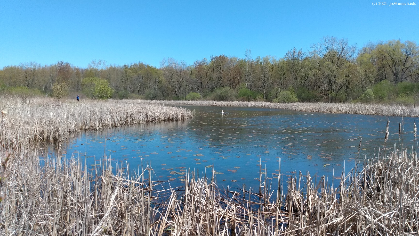

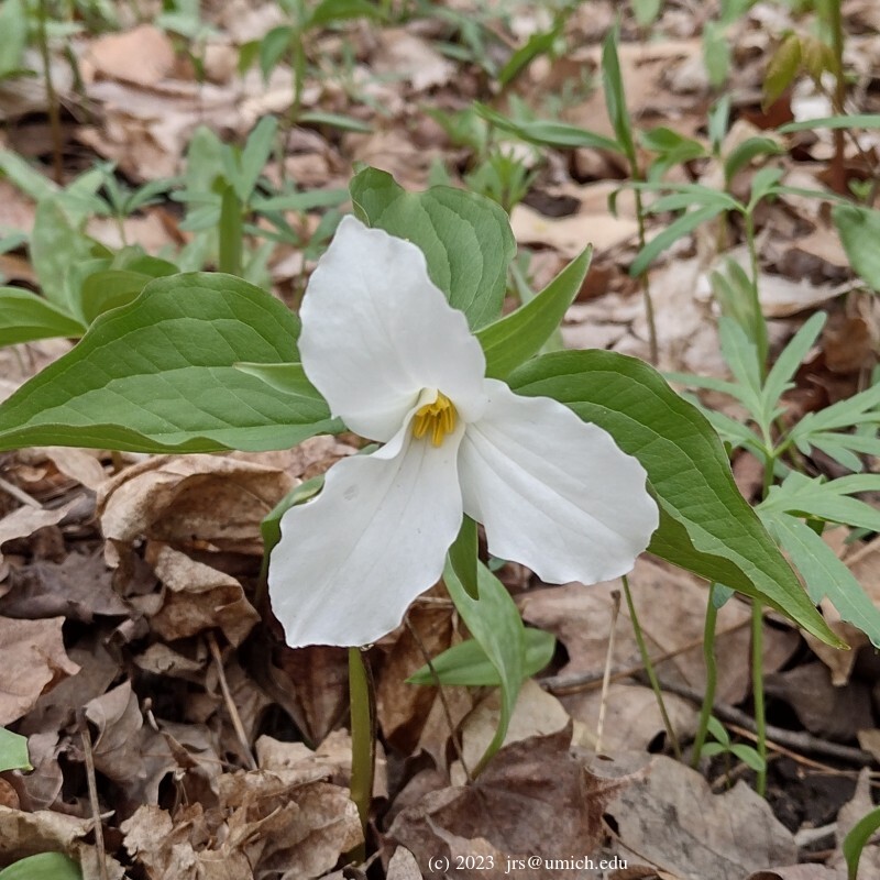
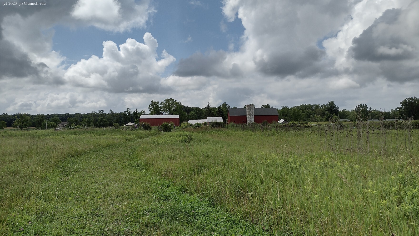
Overview: The LeFurge Woods Nature Preserve is a 325 acre parcel of land with an extensive trail network offering access to a variety of habitats, including wetlands, meadows, and a hardwood forest.
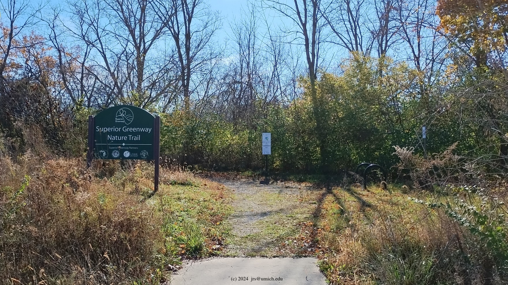
It is also connected to the Superior Greenway Nature Trail (SGNT), a 1.65 mile unpaved point to point trail that runs north from the LeFurge Woods through the Meyer Preserve East (183 acres) and the Jack Smiley Preserve (100 acres), ending at Superior Township Hall.
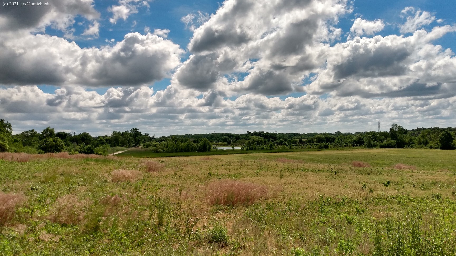
The terrain is very flat, the main exception being a modest hill
immediately north of the LeFurge Woods parking lot. The grassy hilltop
sits about 35 feet above the surroundings and offers a
panoramic
view  of the adjacent wetlands. Farther to the south and east, the trails
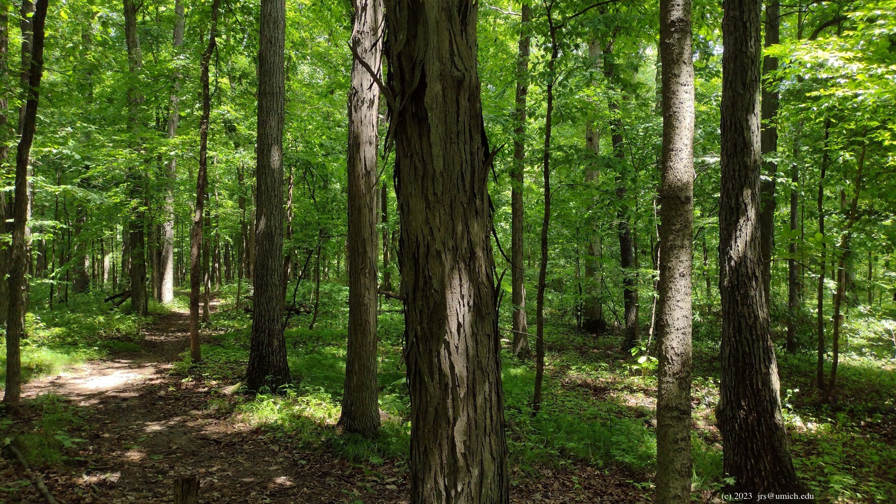
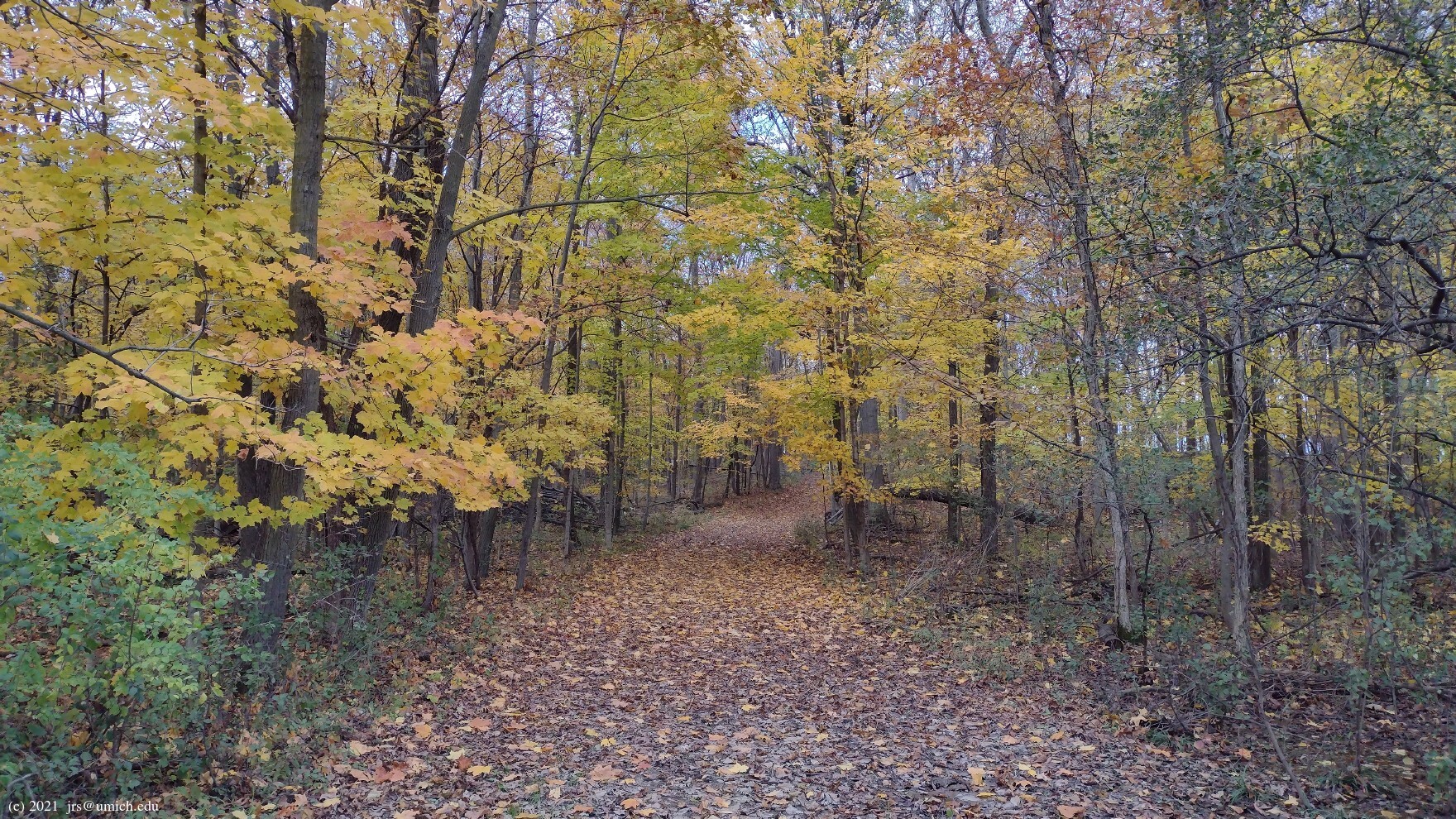
take you through meadows and eventually into a dense
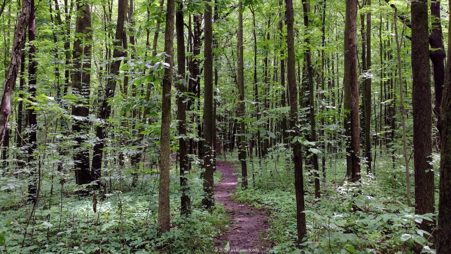
forest
that provides uninterrupted shade in the summer and early fall.
of the adjacent wetlands. Farther to the south and east, the trails
take you through meadows and eventually into a dense
forest
that provides uninterrupted shade in the summer and early fall.
For my taste, the highlight of the site is a 0.65 mile
spur trail on the eastern edge of the preserve that takes you deep into
the woods. However, do be prepared for an anticlimactic ending to this
trail -- all you will find is a
barrier
that marks the beginning of private property. If you have a limited
amount of time to spend here, I recommend an out-and-back hike from
the LeFurge trailhead to the end of this spur (a round trip of
about 2.4 miles), combined with a short loop passing over the summit
of the previously mentioned hill.
Leashed dogs are allowed throughout, but no bikes and no horses.
Update (August 2024):
The OpenStreetMap shows that a new
trail loop
in the far south of the preserve has been opened up. Look for a
tunnel-like pathway heading south through a line of trees.
On the other side of the tunnel is farmland, and
the path
at this point
could easily be dismissed as a simple dirt border separating woods
and crops. However, if you persist and continue due south for about
1/4 mile, you will discover that the path eventually turns east and
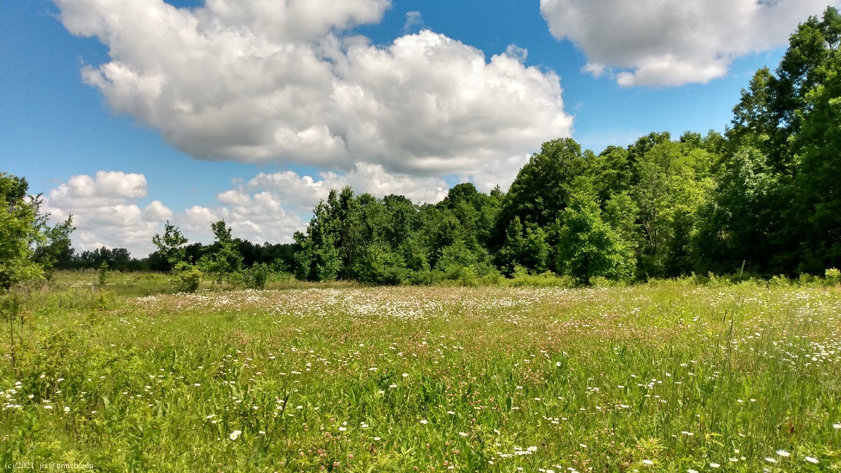
loops around a broad meadow of grass and wildflowers.
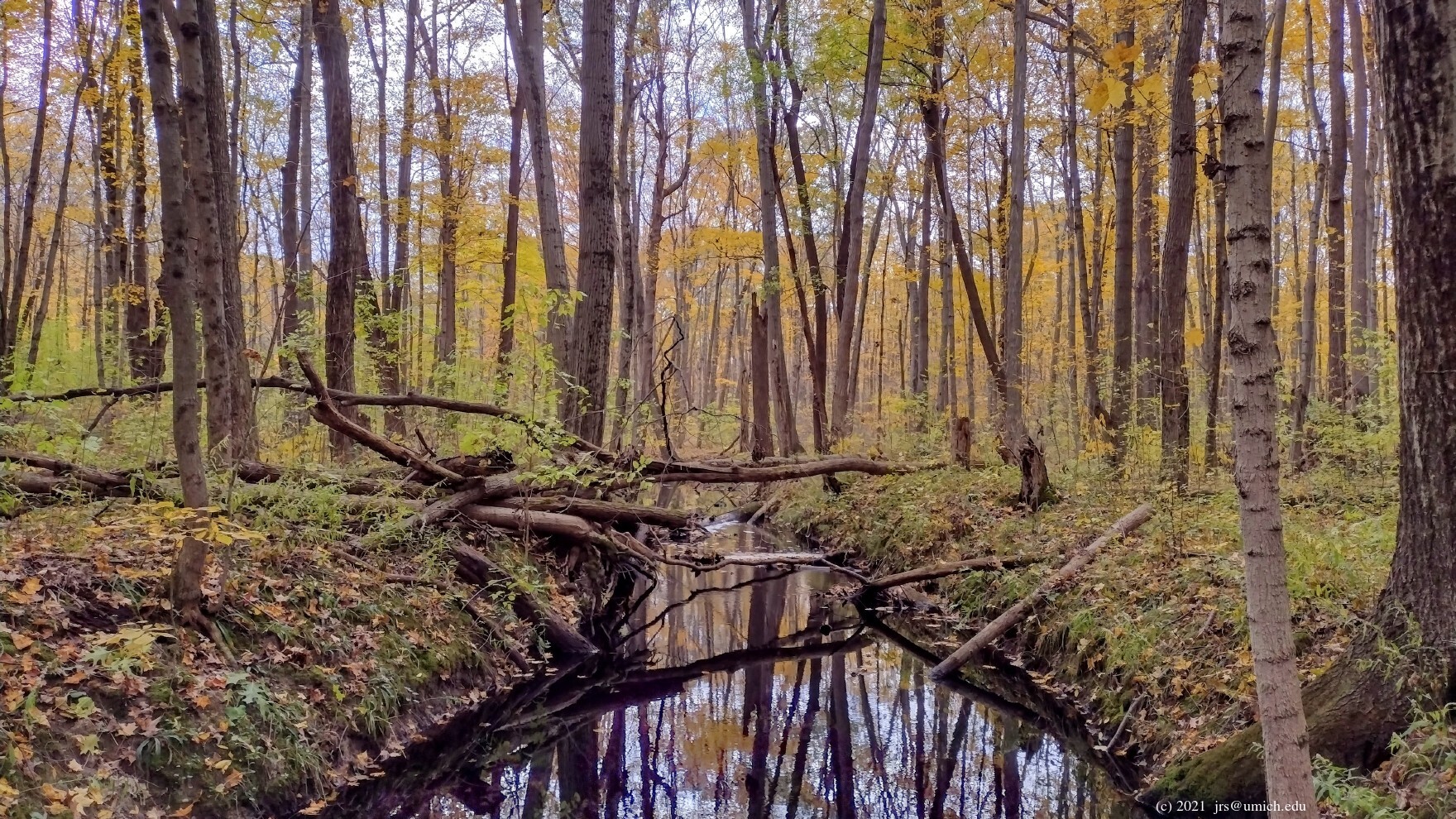
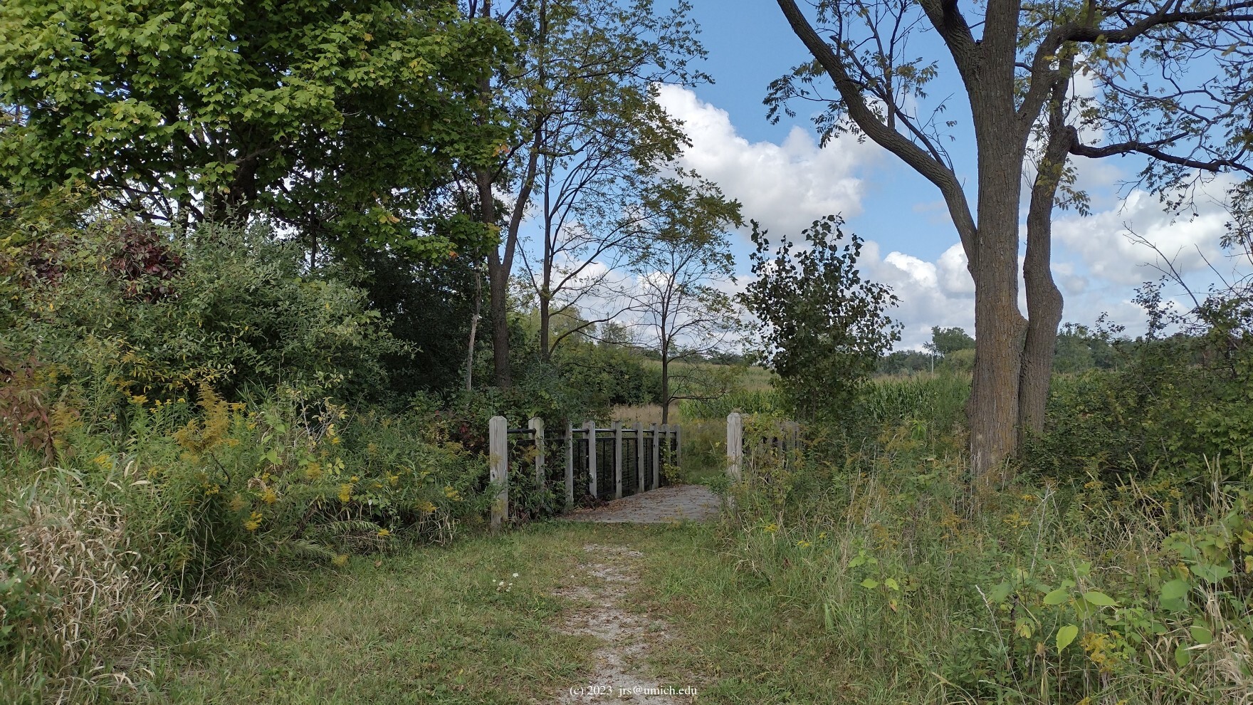
Midway through the meadow loop, there is a stream crossing that leads to a second, shorter loop through an adjacent wooded area. However, with no bridge at the crossing, you may need to rely on the stream being narrow enough and its banks dry enough for a leap across. The meadow loop, starting from the tunnel entry, will add 1 mile to your hike. If you manage to cross the stream, the second loop adds another 0.5 miles.
The Superior Greenway Nature Trail.
If you have more time, consider adding a 3.3 mile round trip on the SGNT
to your hike. After this trail exits northbound from the LeFurge Woods,
it passes through the eastern half of the Meyer Preserve,
a hardwood forest distinguished by the abundance of
shagbark
hickory .
There is also a spur trail that heads east out of the Meyer Preserve
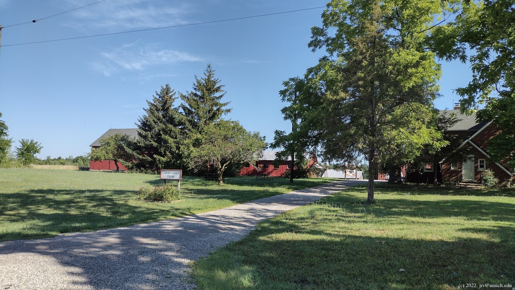
and into the 99 acre
Conservancy
Farm ,
ending 0.6 miles later at the
main office of the Southeast Michigan Land Conservancy (SMLC).
Continuing north on the SGNT, once you exit the Meyer Preserve,
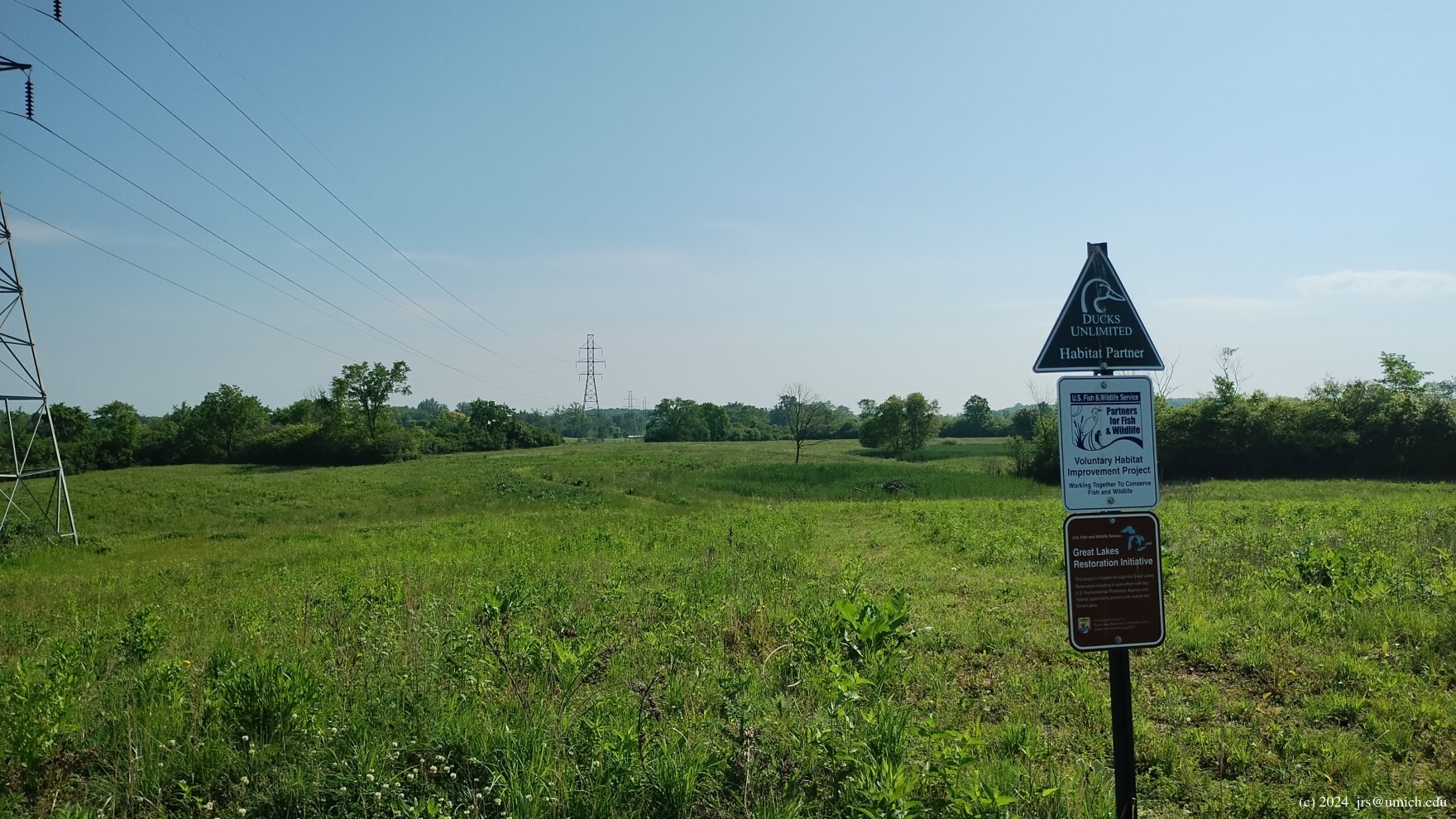
you enter the wetlands, open fields, and farmland of the Smiley Preserve.
Two stream crossings and a brief hill climb later,
you arrive at a platform offering a
wide-angle
view
of the surrounding farmland. A short distance beyond that is the
trailhead
for the SGNT. Across the road you will see a large parking
lot for Superior Township Hall -- an alternative to keep in mind
in case the small LeFurge Woods parking lot is full.
Considering the flatness of the terrain and the ample supply of ground water, mud on the trails is always a possibility. There are boardwalks in a few places, but not in all of the places where it might be needed. During one early spring visit with no recent rainfall, I found an inch of standing water stretching across the SGNT in a couple of spots. The forested parts of the LeFurge Woods trails do seem to have good drainage and less mud, despite passing near a few swampy areas.
The Conservancy Farm...
If the Smiley Preserve is flooded or too muddy when you visit, an
alternative is to take the spur trail that leads east to the
Conservancy Farm and use (unpaved) Vreeland Road to return to the SGNT.
On MapPedometer, I've saved a route map for
a 4.5 mile hike
that follows this suggestion. In addition to the Conservancy Farm detour,
it includes the LeFurge hilltop, wetlands, meadow, and woods.
...and a new connecting trail.
In the Spring of 2024, a new trail opened up that connects the Smiley
Preserve and the Conservancy Farm. This creates another option
for returning to the LeFurge Woods while still avoiding the sections of
the Smiley Preserve that are the most likely to experience flooding.
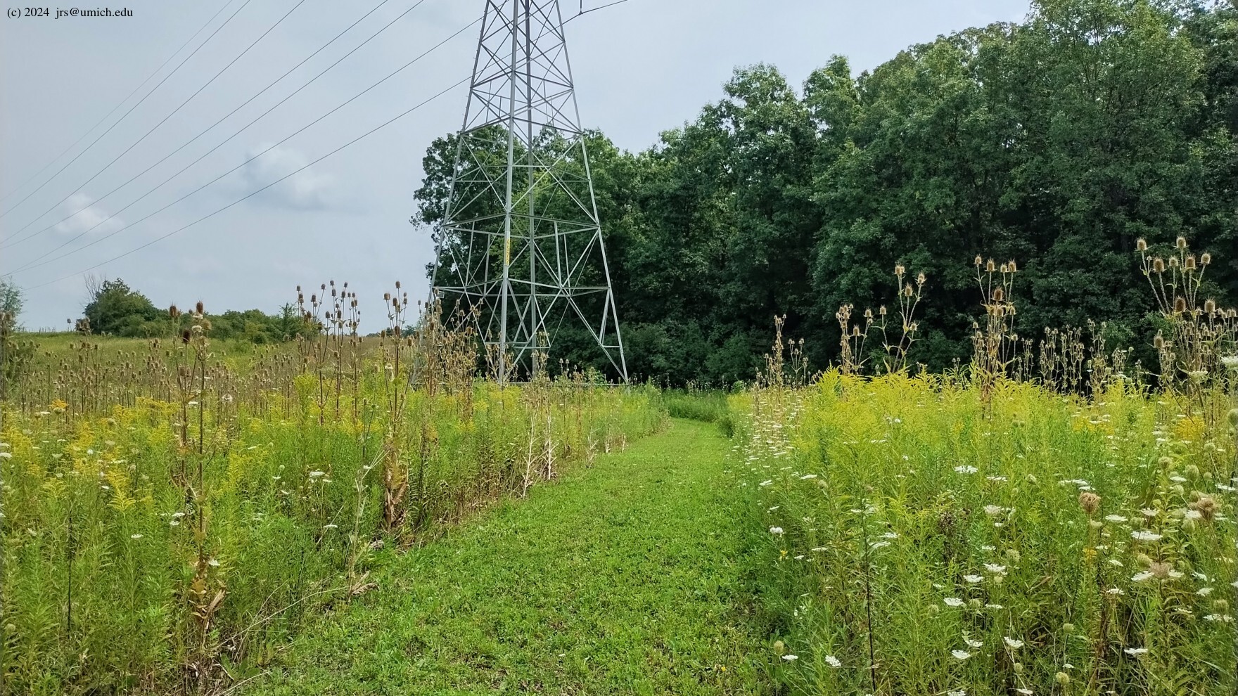
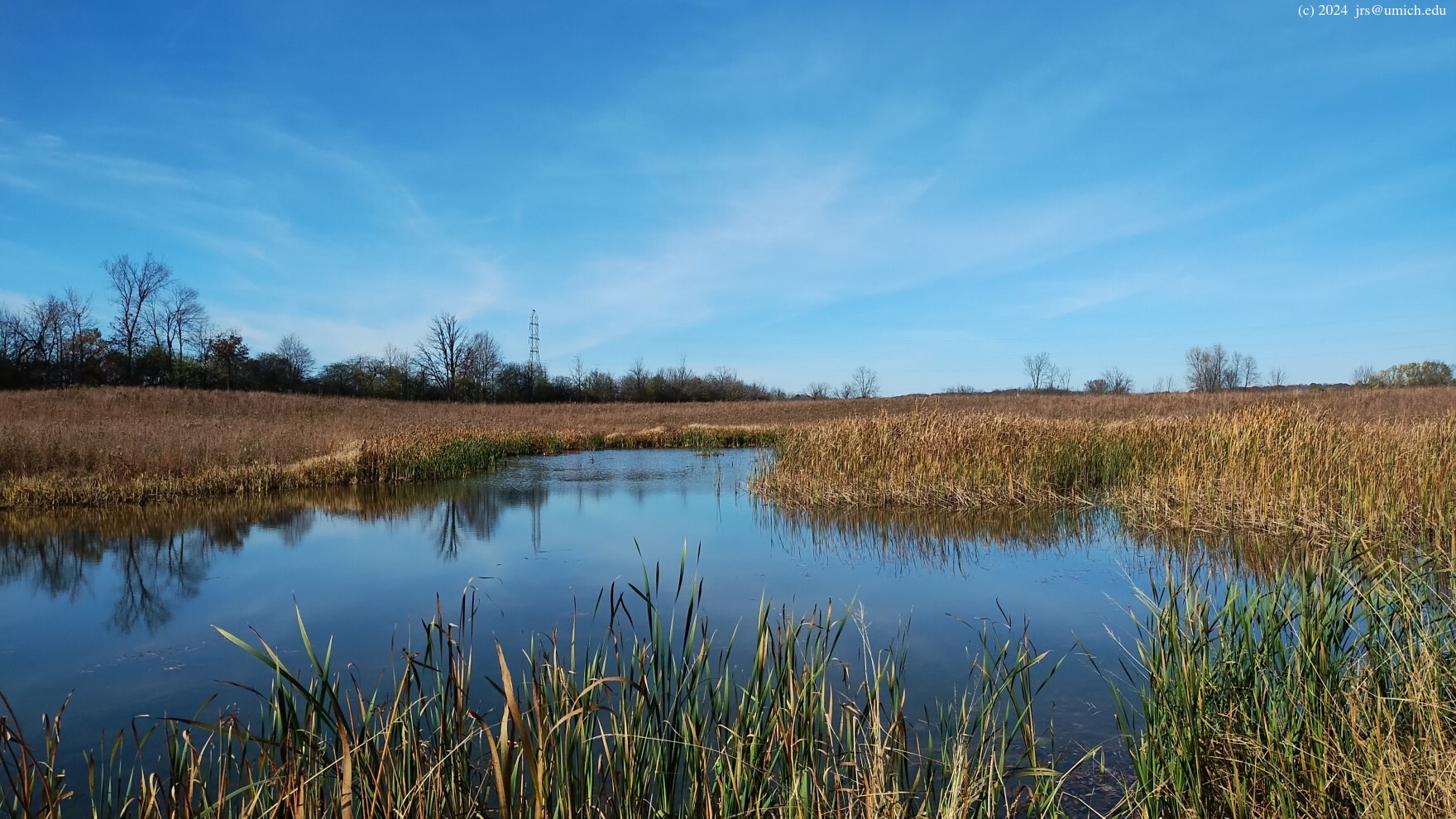
If you are northbound on the SGNT, a short distance after you enter the
Smiley preserve, you will find the
trail
entrance
heading east underneath some high voltage power lines. The trail
continues
roughly parallel to the power lines before turning south and passing
through a field with a
pond
in the center of it. I've saved a copy of this route on
MapPedometer .
Directions: Head east on Plymouth Road or east on M-14 to Ford Road (Exit 10). Continue east on Ford (M-153) for about 1.75 miles, turning right (south) onto North Prospect. If you prefer to start at the Superior Greenway trailhead, look for Superior Township Hall on your left after about 1 mile, and park on the south side of the township hall off Cherry Hill Road. If you prefer to start in the LeFurge Woods, continue south on Prospect for another 1.25 miles and look for a small parking lot on your left.
From the east side of Ann Arbor, another option is to take Geddes Road east to North Prospect (about 5 miles starting from Huron Parkway). Turn left (north) onto Prospect and look for the LeFurge parking lot on your right after 3/4 mile, or the township hall parking lot off of Cherry Hill after 2 miles.
Limited parking is also available at the Conservancy Farm and SMLC headquarters on Vreeland.
Excerpts from the websites: [The] LeFurge Woods Nature Preserve was formed by 5 SMLC land purchases that consolidated 325 acres of farmland and natural habitat. The preserve now protects a representative cross section of southern Michigan habitat types. Trails wind through wetlands, meadows, and the LeFurge Woods, allowing some of the best wildlife viewing in the Detroit-Ann Arbor region.
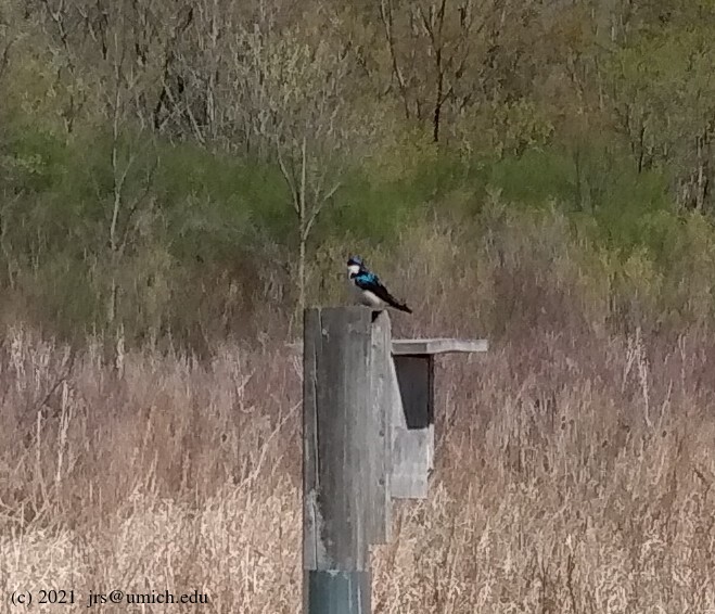
[The] Meyer Preserve is part of the Prospect Road corridor called the Superior Greenway. The preserve consists of two different parcels on the southwest and northeast corners of Vreeland and Prospect Roads. The western parcel contains active farmland, a beech-maple woods (where you can find a threatened sedge, Carex lupuliformis), and a large wetland complex. The natural habitats support migrating birds, great horned owls, and mink.
The 99-acre Conservancy Farm consists of beautiful woods and farm fields that lie in the heart of the Superior Greenway. The 79-acre farmstead includes a 1909 farmhouse, the main office for SMLC; the original settlers’ log cabin (1830s); and an old post-and-beam barn.
The Jack R. Smiley Nature Preserve, named after SMLC’s founder, was purchased in 2012 with significant help from the Greenway partners. The Preserve hosts the new Superior Greenway Nature Trail, open year-round, which starts with an ADA accessible scenic overlook area and meanders across two streams through a landscape of active farmland and three wetland restoration projects before connecting to the County’s Meyer Preserve.
SMLC and Washtenaw County finished the first phase of the Superior Greenway Nature Trail in 2017. This trail connects several Nature Preserves owned by SMLC and partner organizations, and is great for hiking and even cross-country skiing in the winter.