 ,
Goodrich Preserve
,
Freeman ,
Goodrich ,
Horner-McLaughlin
,
Goodrich Preserve
,
Freeman ,
Goodrich ,
Horner-McLaughlin
,
Goodrich Preserve
,
Freeman ,
Goodrich ,
Horner-McLaughlin
,
Goodrich Preserve
,
Freeman ,
Goodrich ,
Horner-McLaughlin
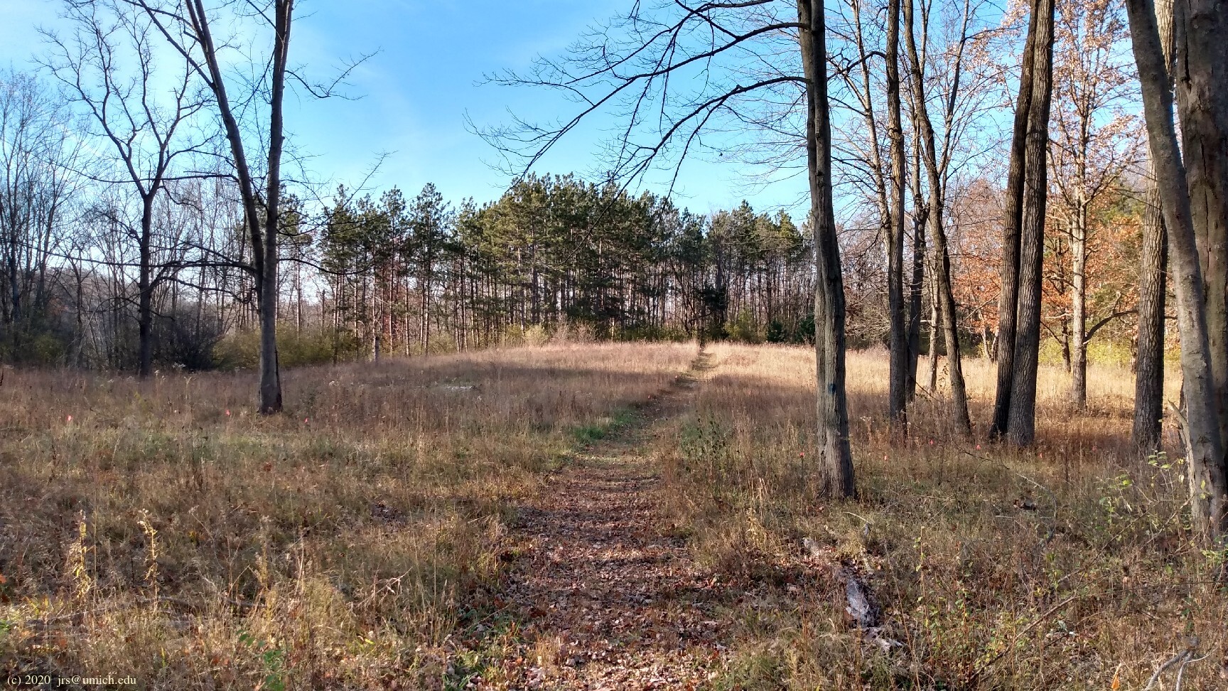
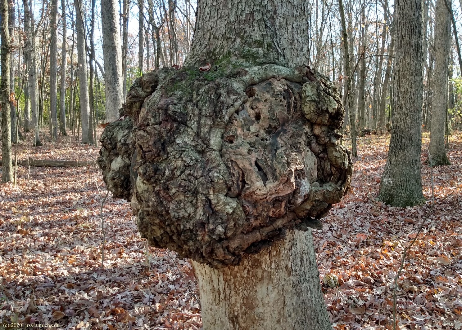
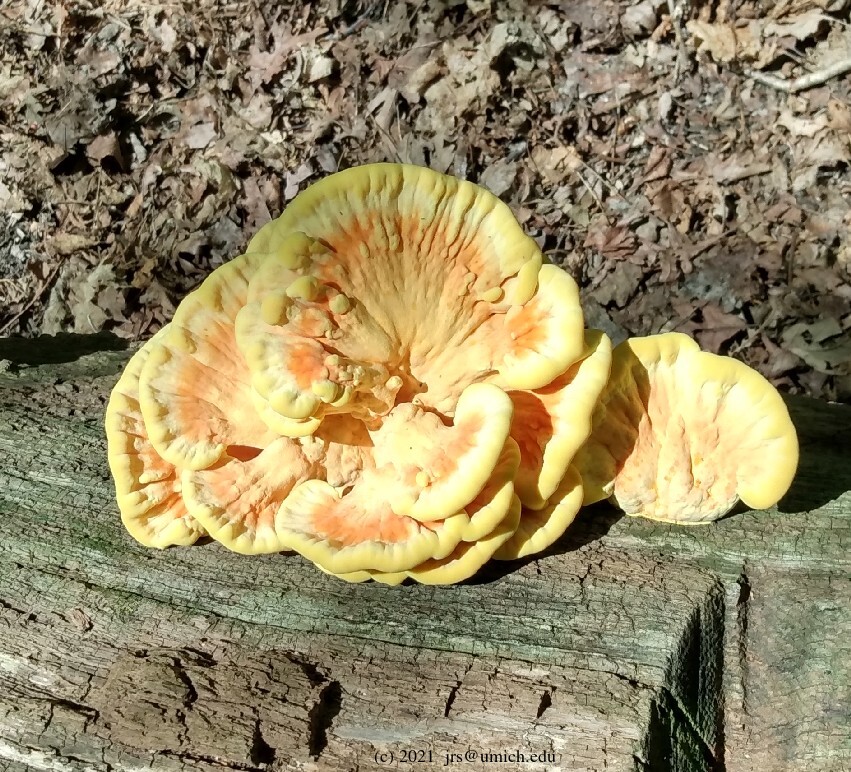
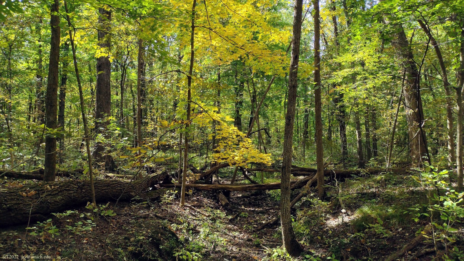
Photos from the southern half (Marshall and Freeman):
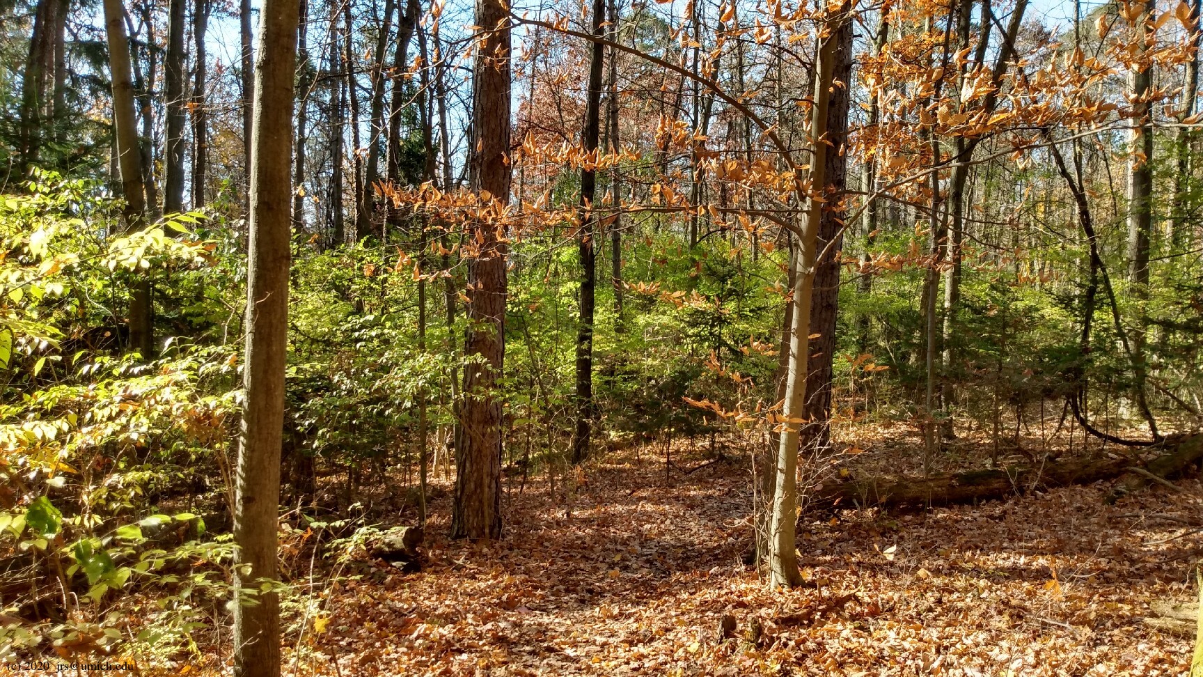

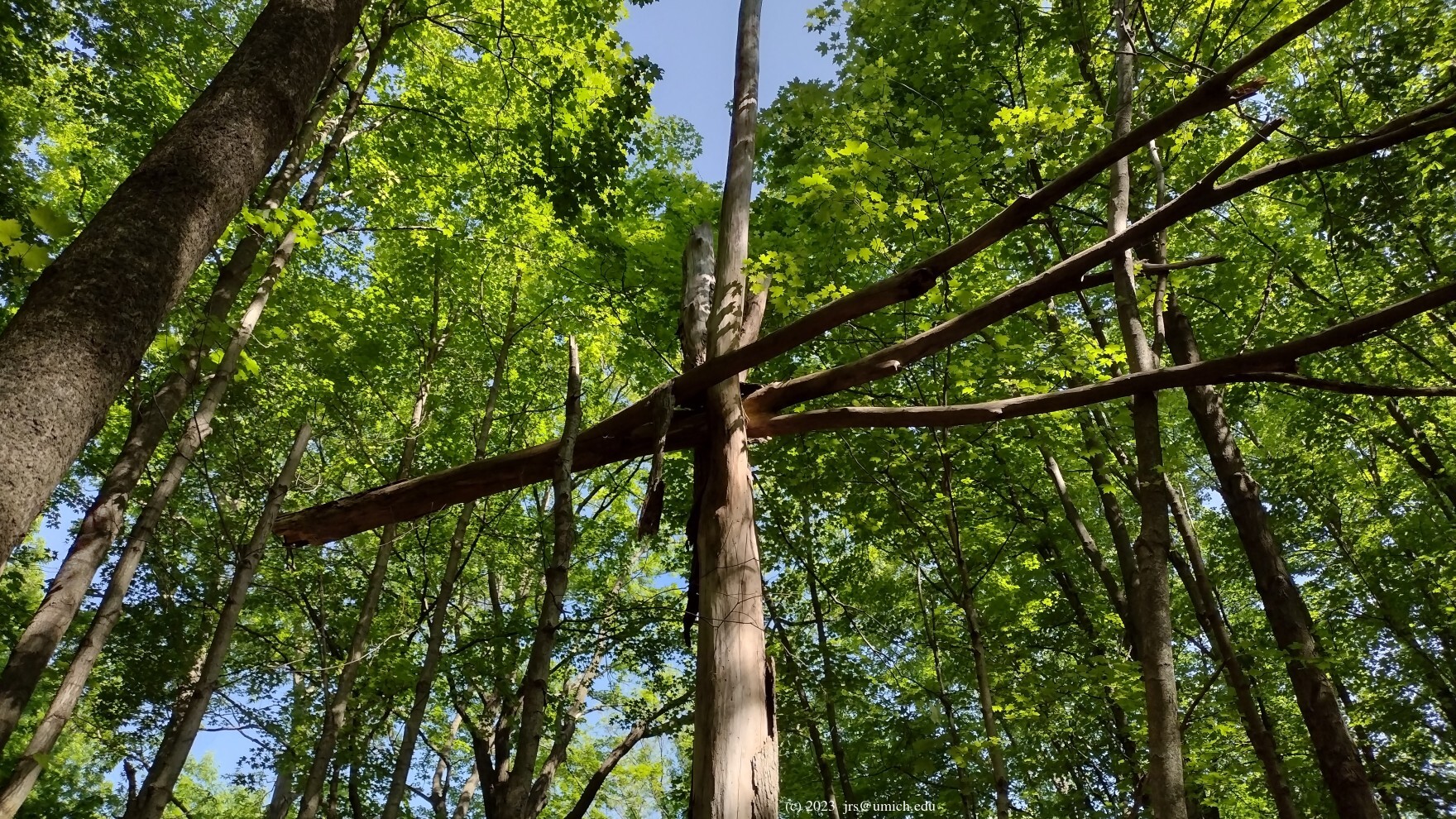
Photos from the northern half (Goodrich and Horner-McLaughlin):
Overview: East of Domino's Farms and south of M-14 you will find
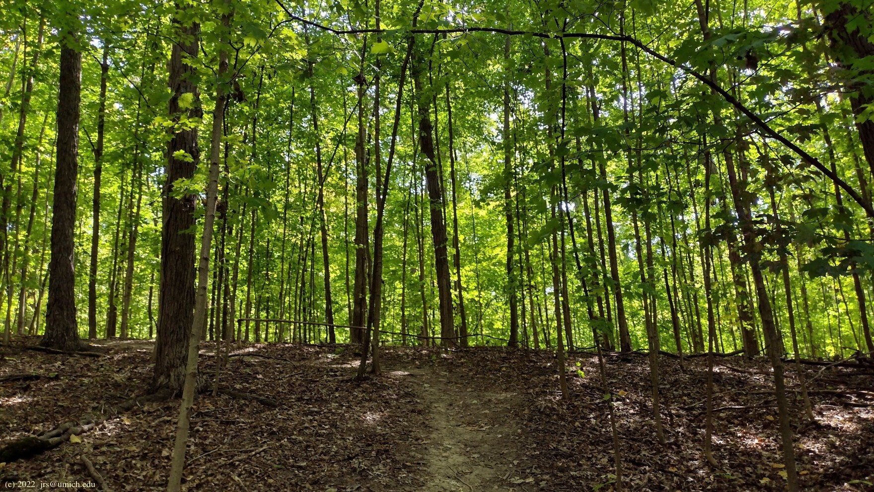
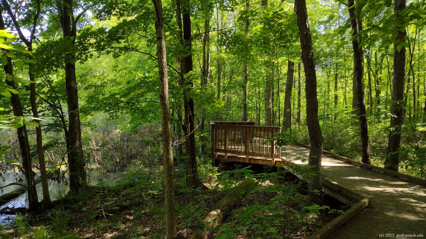
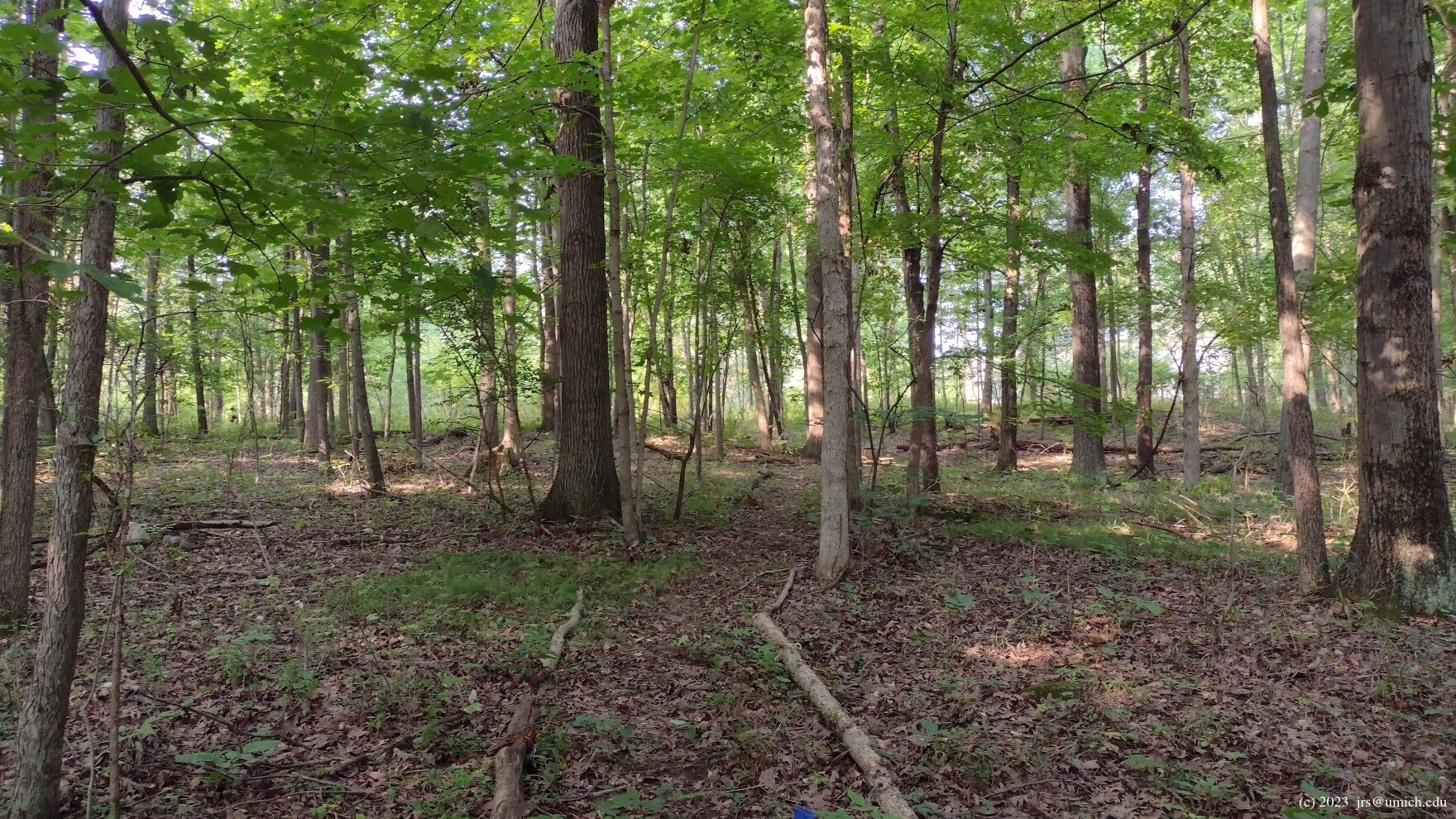
All four sites are predominantly wooded. There are also some
wetlands  in the northern half (Goodrich and Horner-McLaughlin), and
Kirk's
Brook
runs along the southwest boundary of the Freeman Preserve.
The southern half (Marshall and Freeman) has a few hills and occasional
steep sections of trail.
in the northern half (Goodrich and Horner-McLaughlin), and
Kirk's
Brook
runs along the southwest boundary of the Freeman Preserve.
The southern half (Marshall and Freeman) has a few hills and occasional
steep sections of trail.
The OpenStreetMap provides a good overview that shows how the four properties fit together. It now shows the new (as of 2024) trail that connects Goodrich in the north with Marshall in the south, although it does not show that the area it passes through is on property recently acquired by the Goodrich Preserve. This new development is discussed in more detail below.
If you want to keep things simple, a hike confined to the southern half
that runs from the Marshall trailhead to the
Freeman trailhead
on Ford Road and back is about 2.4 miles. You can supplement it with
some of the interior trail segments or the
spur trail
near the Marshall/Freeman boundary that heads south alongside
Kirk's Brook, ending after about 0.15 miles at an embankment below
Plymouth Road.
The trail network in the northern half is less extensive but no less
rewarding. A round trip starting from the
Goodrich trailhead ,
including a side trip north into the wetlands and a short loop
in the eastern half of Horner-McLaughlin, is about 1.3 miles long.
During one November visit, the leaves covered the trails so
thoroughly that simply locating the path leading north into
the wetlands was difficult.
Leashed dogs are allowed only in Marshall and Freeman; bikes are allowed only in Marshall.
 The Connecting Trail Between Goodrich and Marshall

As of July 2024, two years after the first signs of construction,
a trail connecting the Goodrich Preserve in the north with the Marshall
Nature Area in the south is now open. Starting from the Goodrich side,
the new route departs southbound from the main east-west trail near
a plaque honoring
Suzanne
Goodrich ,
about 300 yards from the trailhead. Although the old 2016 map of the
Goodrich Preserve indicates that the preserve boundary is less than 250
yards to the south in this area, the
new 2021
map ,
posted (only?) at the trailhead, shows that the preserve has acquired
an irregular parcel of land that includes two narrow strips, one that
extends south all the way to Ford Road, and another that extends west
to Wood Drive.
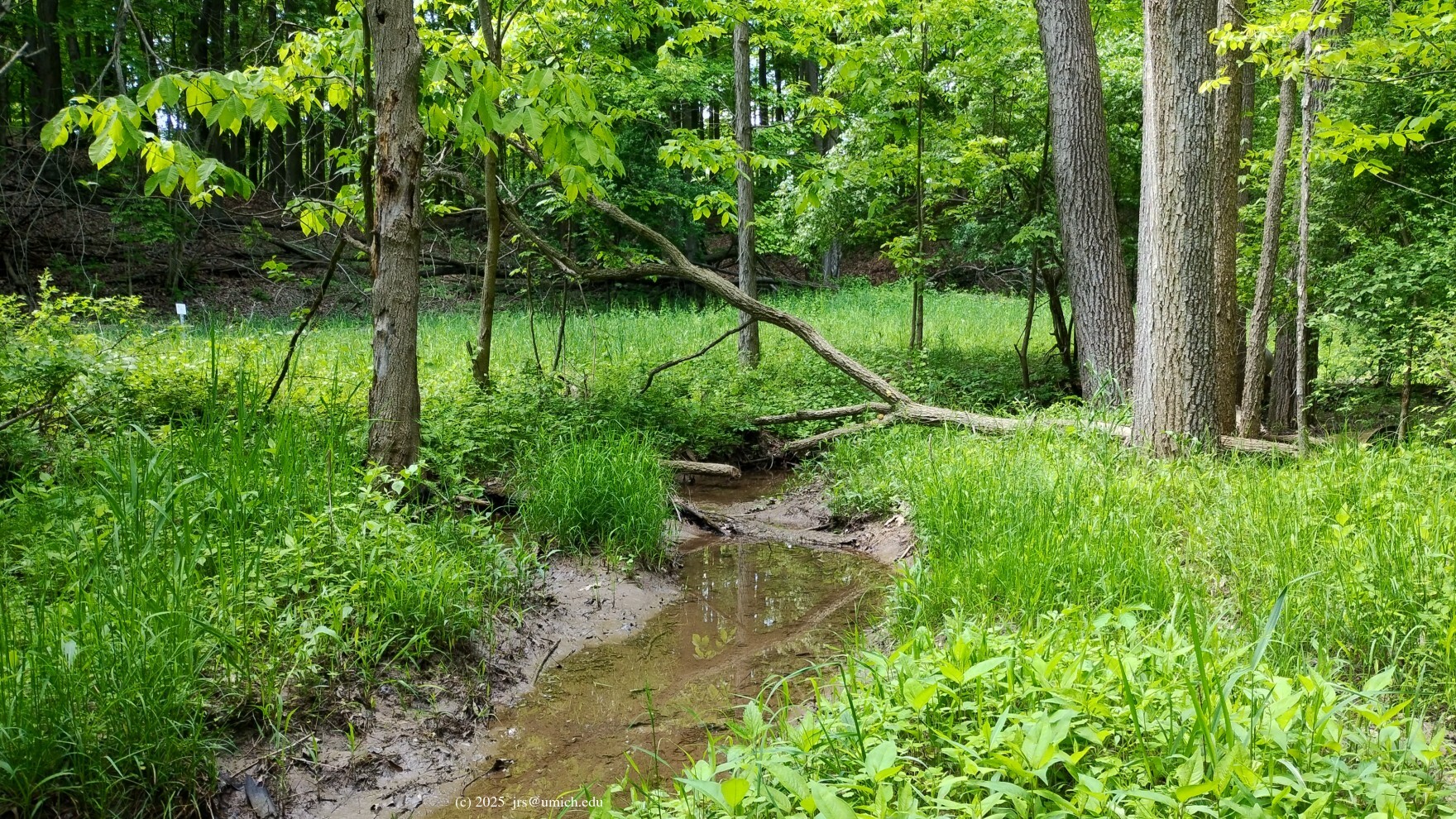
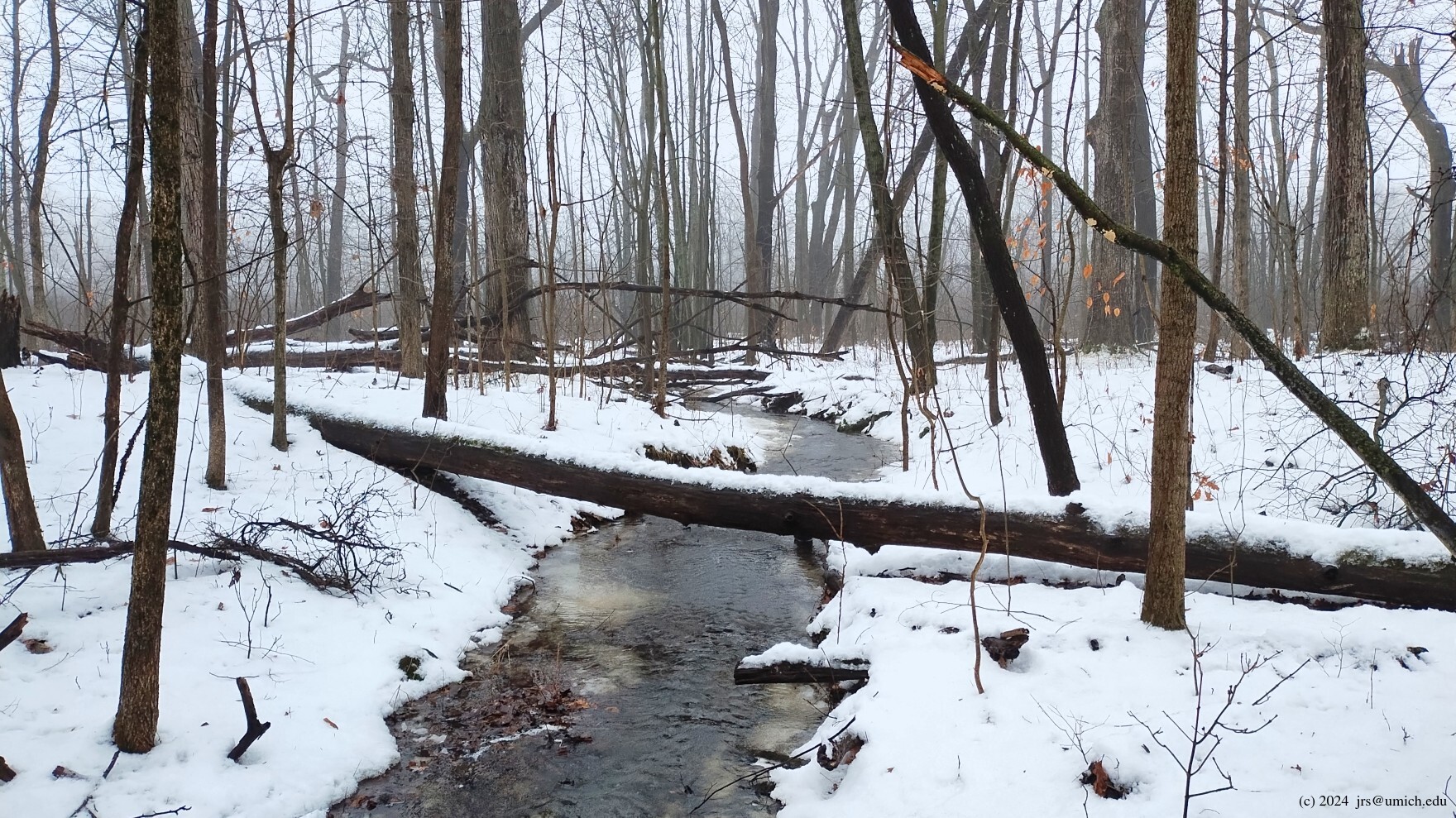
Following the connecting trail south, you will descend to a
stream
crossing
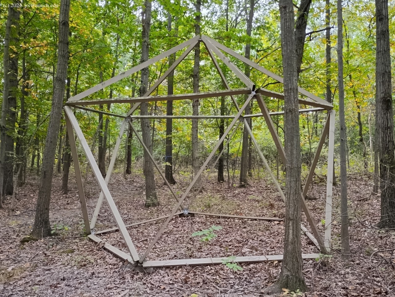
before heading back uphill. The trail then bears to the right
(southwest) and passes by an
object
sure to delight every math geek, even if giant polyhedra are wildly
out of character for a nature preserve.
Perhaps it is the handiwork of a neighbor drawing inspiration from a
zometool .
In any case, its provenance and purpose remain mysterious.
Beyond the giant polyhedron, the trail continues south and downhill to a
second
stream crossing
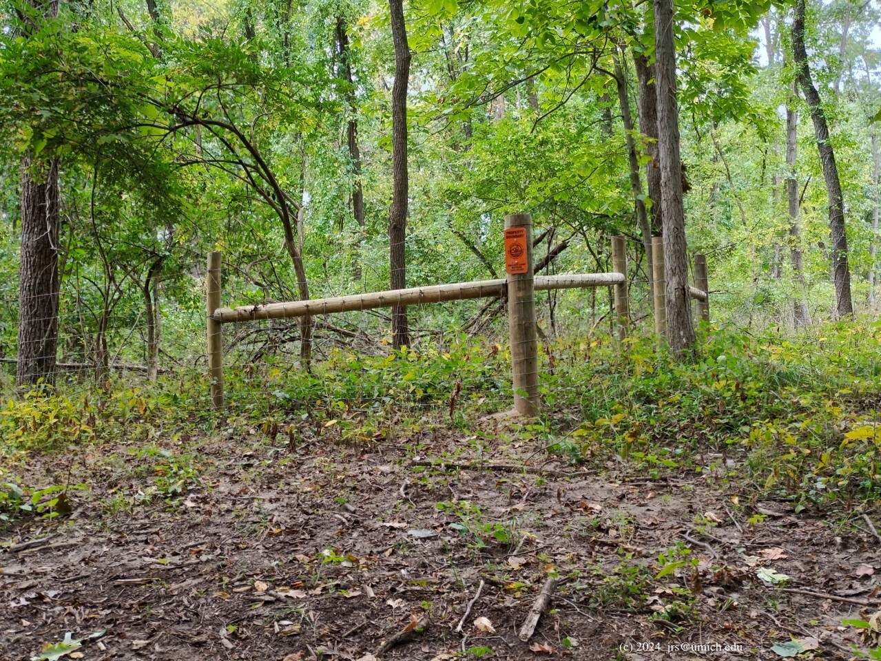
and then southwest and uphill to one of the (new) boundaries of
the preserve, guarded by a
fence
that runs south and west. From there, the trail follows the
border fence south to Ford Road. After crossing Ford, it enters
the Marshall Nature Area and joins one of the main east-west
trails there after about 150 yards.
If you are starting from the Marshall trailhead and intend to hike
the connecting trail in reverse, head to the main intersection west
of the trailhead and follow the right hand branch northwest from there.
Then look for two trails branching off to your right after about 0.2 and 0.25
miles; the
second
of these branches is the connecting trail. (The first one
is a spur that leads to an exit in the northeast corner of Marshall.)
Connecting the Horner-McLaughlin Woods and
Freeman via Wood Drive:
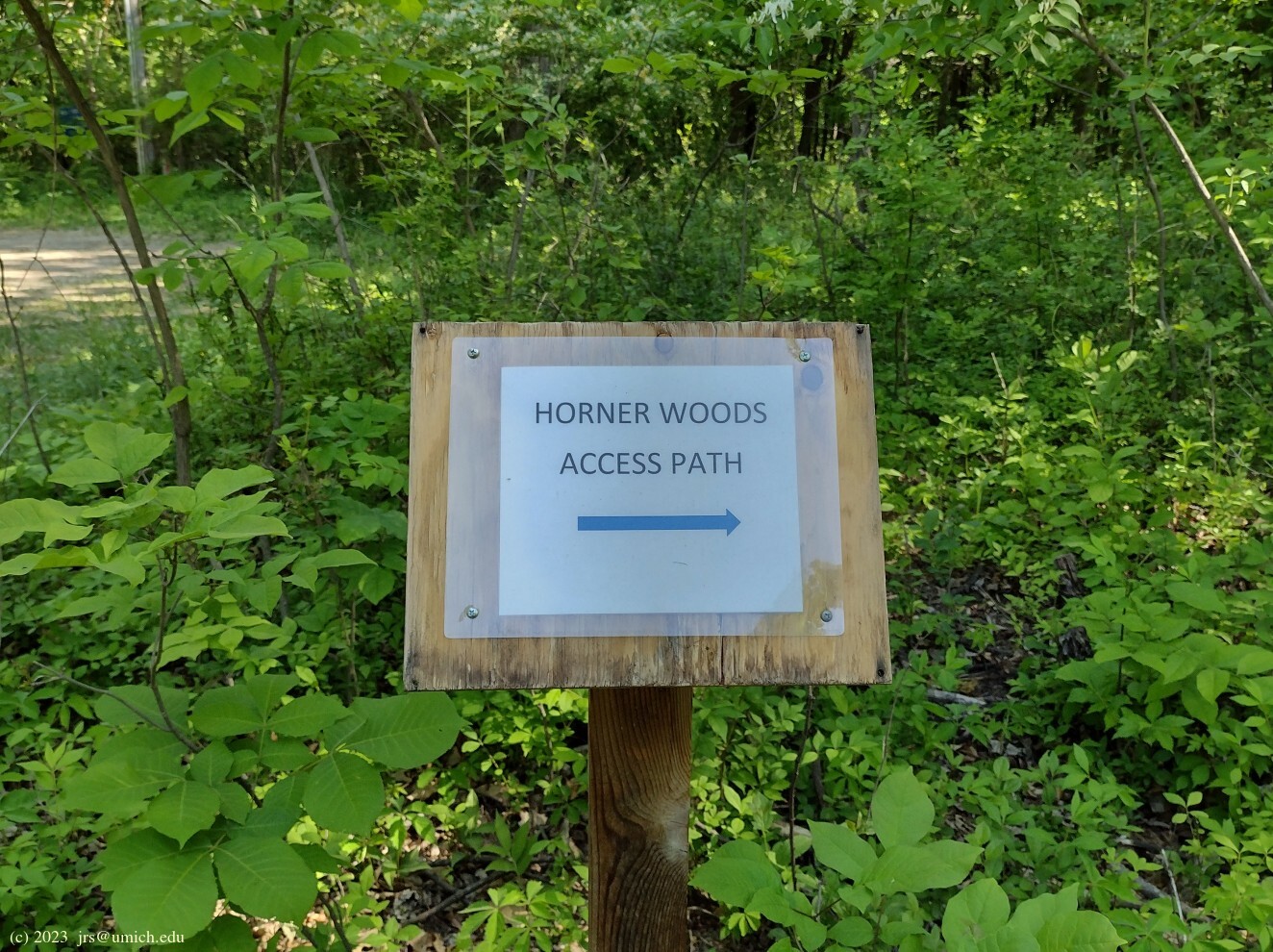
A new (2023) trail segment that exits the Horner-McLaughlin
Woods onto Wood Drive may be used to construct a second route that
connects the northern and southern halves.
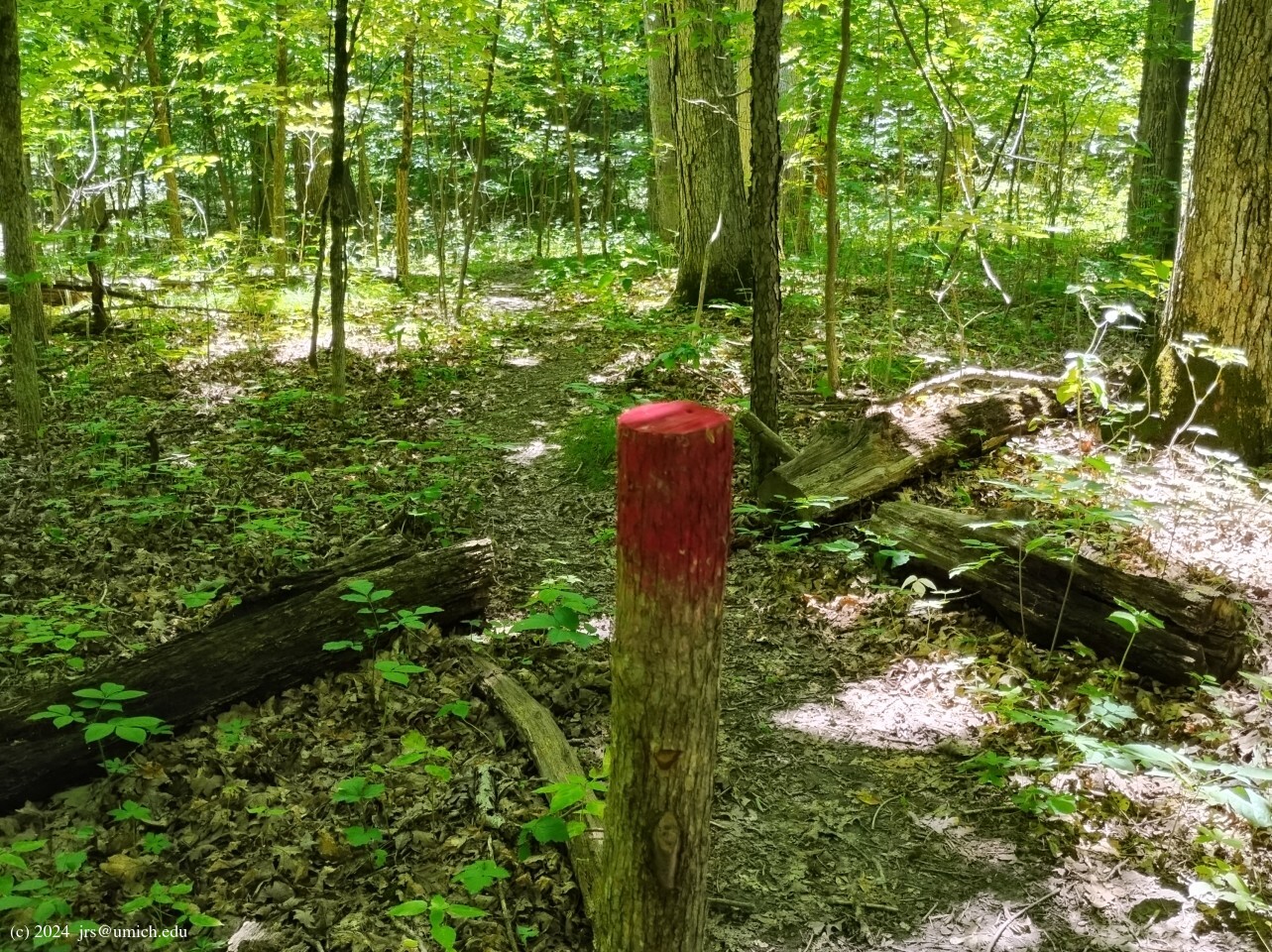
Starting from the loop in the Horner-McLaughlin Woods, the point
of departure is marked by a
wooden
post
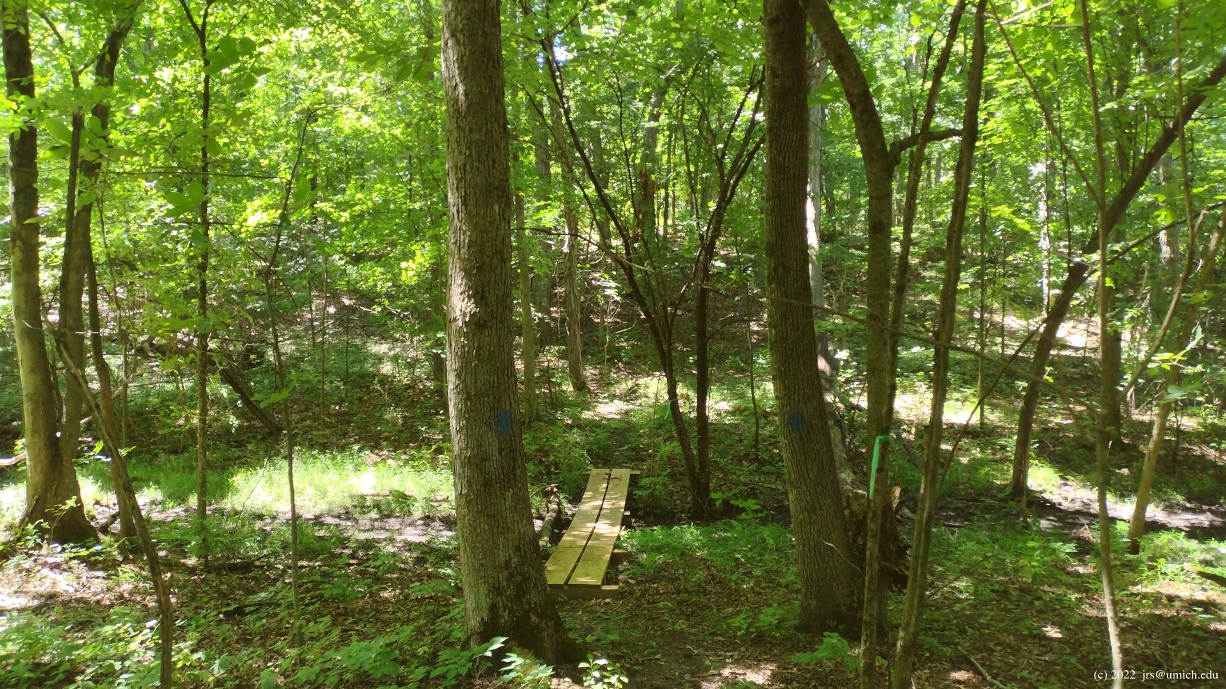
topped with a splash of red paint. If you are traversing the loop
clockwise, look for it about 50 yards west of a short footbridge.
Counterclockwise, it is about 100 yards east of a
memorial
plaque .
(The plaque marks the start of an old spur that also exits onto Wood Drive. This spur is still shown on the OpenStreetMap, although it is not maintained and runs uncomfortably close to private property to the west.)
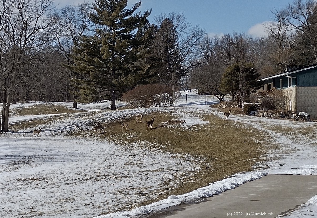
The new segment is lined with tree branches along most of its length
and is not hard to follow. Once it exits near the end of Wood Drive,
walk 0.3 miles along this unpaved residential cul-de-sac south to
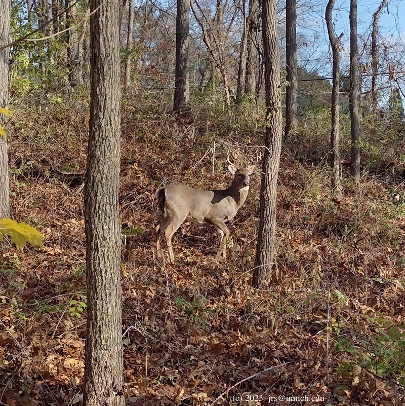
Ford Road. Along the way, it is common to see
deer
munching their way through the neighborhood.
Turn right onto Ford and continue another 0.15 miles west. Look for a
pair of adjacent driveways with two mailboxes between them on the north
side of Ford. About 50 feet farther west, on the south side of Ford,
there is a clear path into the Freeman Preserve.
If you are following this route in reverse, along the northernmost
section of trail in the Freeman Preserve there is a
short spur
about 0.3 miles east of the Freeman trailhead. On this spur a few steps
before you reach Ford Road, the trail forks. You should take the left
branch of this fork for an easy exit. The right branch also offers an exit,
but it is overgrown and appears to have fallen into disuse.
I've saved a route map for a 4.6 mile tour through all four sites on
MapPedometer .
It uses the Wood Drive connecting route southbound,
the Goodrich-to-Marshall connecting trail northbound, and
includes the Marshall, Freeman, and Goodrich trailheads.
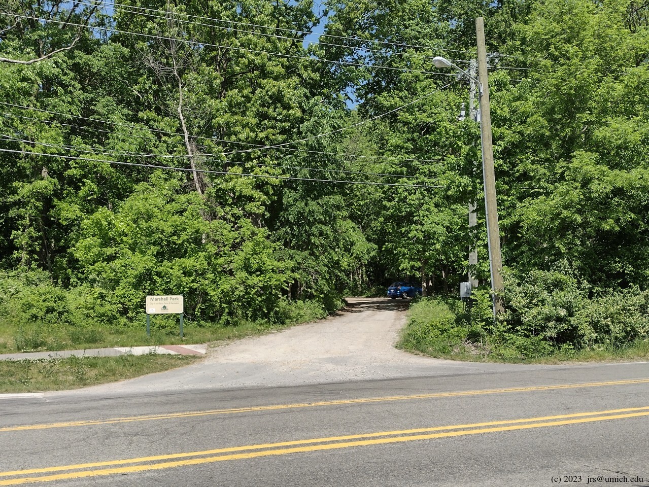
Directions: From downtown Ann Arbor, head north on Division, crossing the Huron River at the Broadway Bridge. Continue northwest on Plymouth Road for another 4.5 miles and turn left (north) onto Dixboro Road. The first driveway on your left leads to a small parking lot and the trailhead for the Marshall Nature Area.
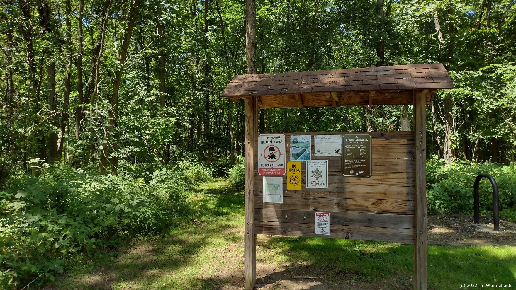
The Marshall parking lot often fills up on weekends with good weather, so you may have better luck starting your hike at the less crowded Goodrich Nature Preserve. It is also on the left (west) side of Dixboro Road about 3/4 mile farther north.
The Freeman Preserve has a
trailhead and bike rack
on Ford Road, but parking there is not allowed.
Excerpts from the websites: West from the parking area [at the Marshall Nature Area] is an open oak grove (which was the former site of a house). Trails begin at the northwest corner of the oak grove.... Much of the forested area is open with mixed hardwoods such as oak, hickory, maple and beech. Dogwoods and a variety of wildflowers add springtime color to the park. Pockets of planted pine and spruce are found on the south and west side of the park. The main trail will loop through both types of woods and the fields. Small, seasonally wet areas are found along the loop trail, so be prepared. The area directly north of the parking lot is mostly shrub-thicket. A trail from Dixboro Rd. bisects this area and joins the main trail in the eastern most field.
The Freeman Preserve is mainly forested, with many beautiful mature trees, and has considerable topographic variation. Some wetlands and Kirk’s Brook, a tributary of Fleming Creek, flows through it. The Freeman Preserve's trails are connected to the trails in City of Ann Arbor's neighboring Marshall Nature Area.
For a good hiking opportunity close to the city of Ann Arbor, the Goodrich Preserve is the perfect spot. The neighboring Horner Woods complex -- used primarily by U of M for research, teaching and fieldwork -- is dominated by old growth forest that grades from hilltop oak-hickory on the eastern Goodrich property to maple-mixed hardwoods covering rich central valleys. Native shrubs, predominantly buttonbush, surround several small wetlands and fill a large swamp which separates much of the woodland from the M-14 freeway. The central portion of this forest, known for its outstanding spring wildflower displays, is preserved by U-M as a plant sanctuary.