 ,
Marsh View Meadows Park
,
Marsh View Meadows
,
Marsh View Meadows Park
,
Marsh View Meadows
,
Marsh View Meadows Park
,
Marsh View Meadows
,
Marsh View Meadows Park
,
Marsh View Meadows
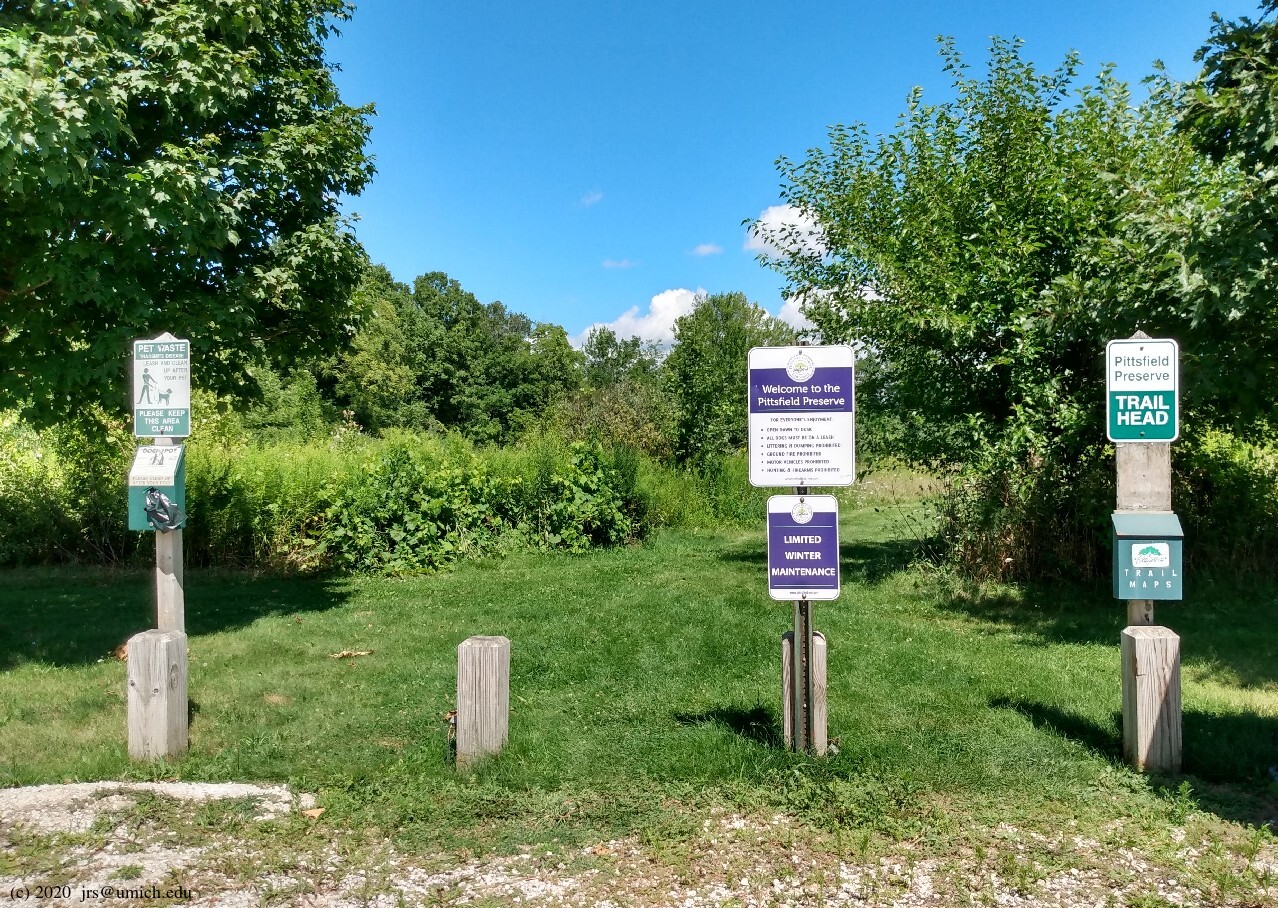
Photos from the northern portions of the Pittsfield Preserve:
Photos from the southern portions of the Pittsfield Preserve:
Overview: Pittsfield Preserve is ginormous, nearly 600 acres total. Even more surprising, it is almost invisible on Google's maps. Google does have markers for some of the entry points to the preserve, but you'd never guess from Google's data that more than half of the land bounded by State, Morgan, Platt and US-12 is inside the preserve. The OpenStreetMap provides a much clearer view of the situation.
The largest portion of the preserve is north of Textile Road and offers a network of trails accessible from small parking lots on Marton and Thomas Roads. Two additional entrances (without parking) are farther south on Thomas and on the north side of Textile.
South of Textile, the preserve has two separate pieces connected by a paved hike/bike pathway. The western portion is the 54 acre Marsh View Meadows Park, which has its own small trail network [PDF] (not shown on the main trail map) and a large parking lot. The eastern portion has the Old Hickory Trail, with a trailhead and a parking lot on the south side of Textile Road.
What follows are suggestions for two separate hikes, one in the less manicured, amenity-free northern portion starting from the Marton Road trailhead, and a second one in the southern portion starting from Marsh View Meadows.
Leashed dogs are allowed throughout.
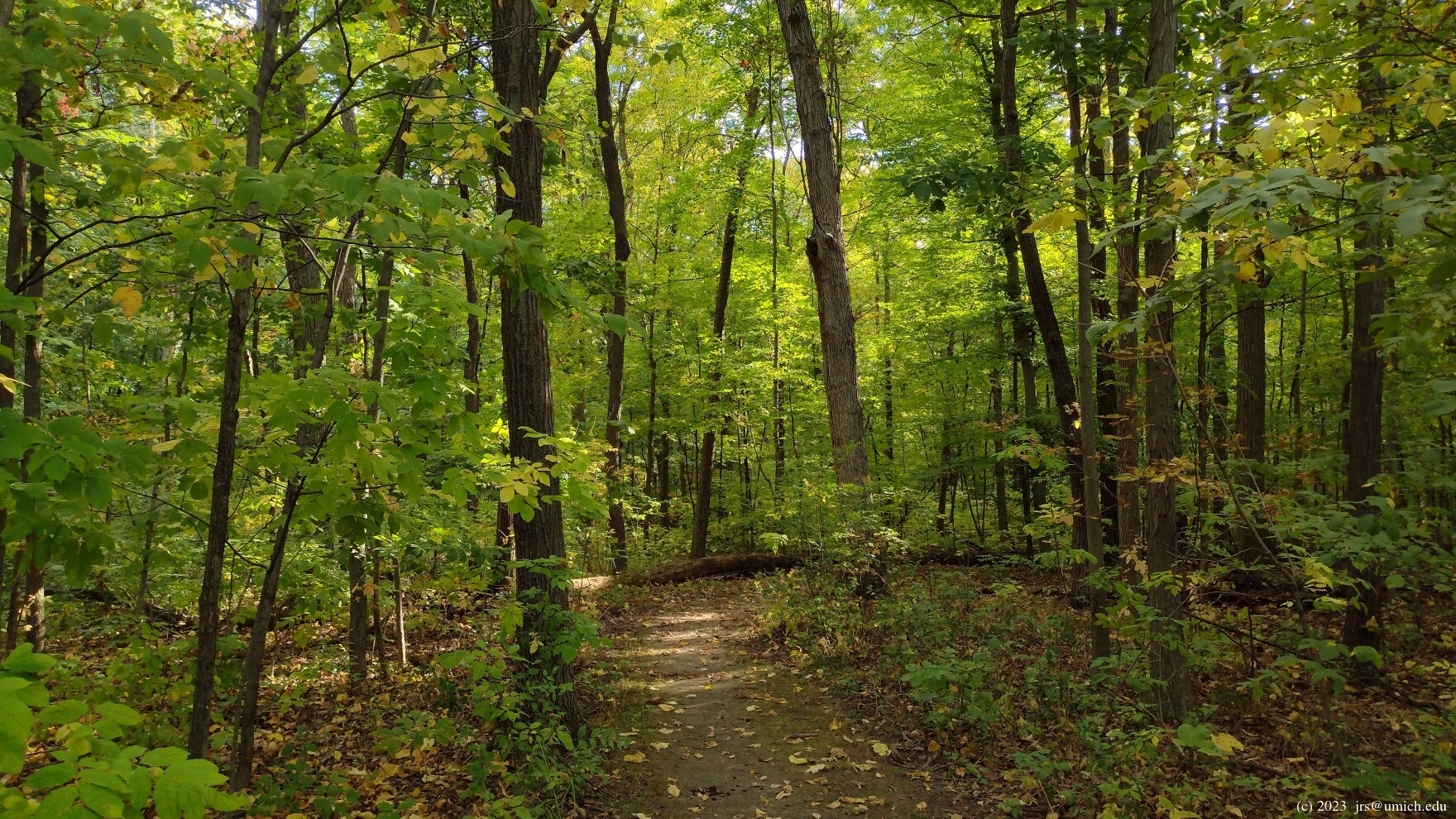
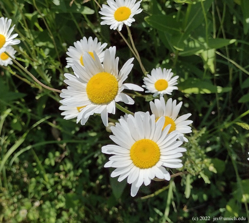
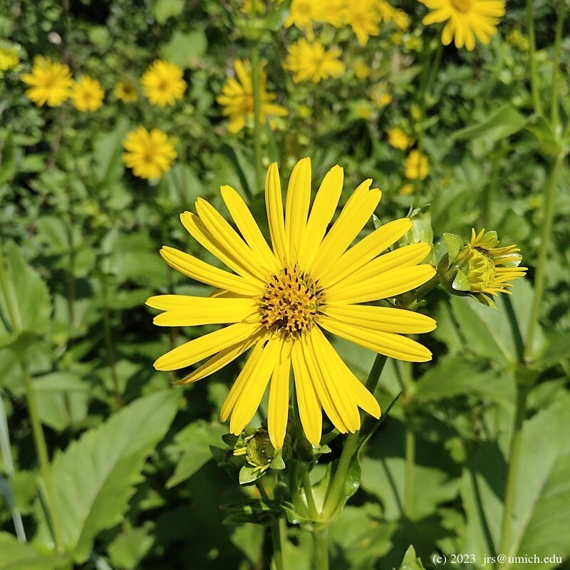
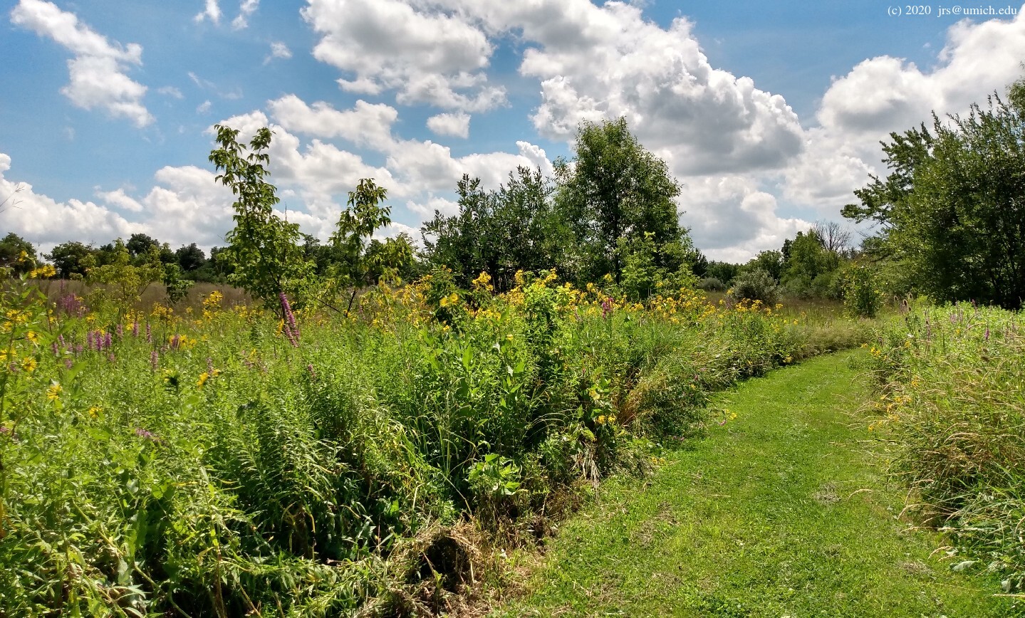
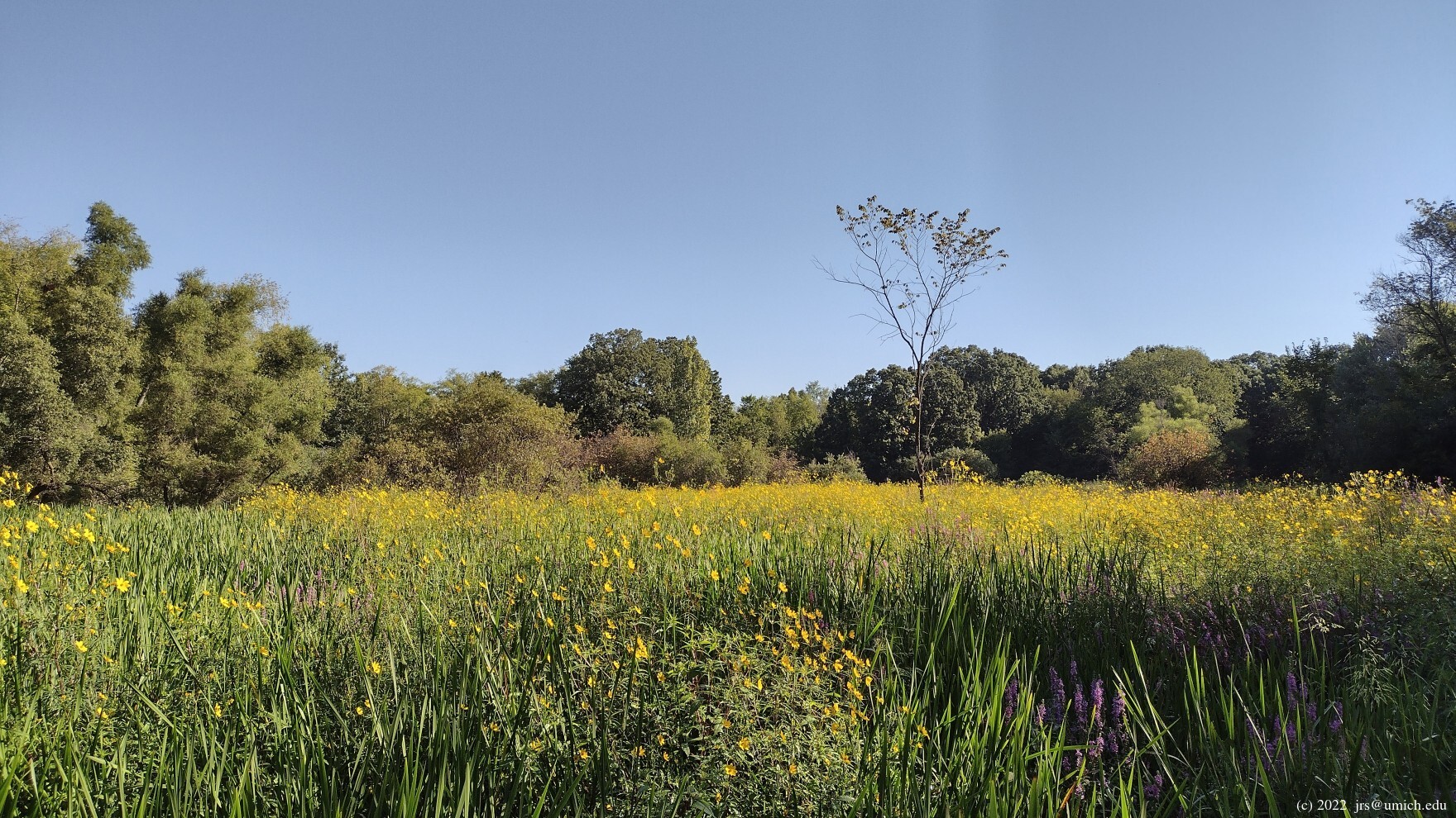
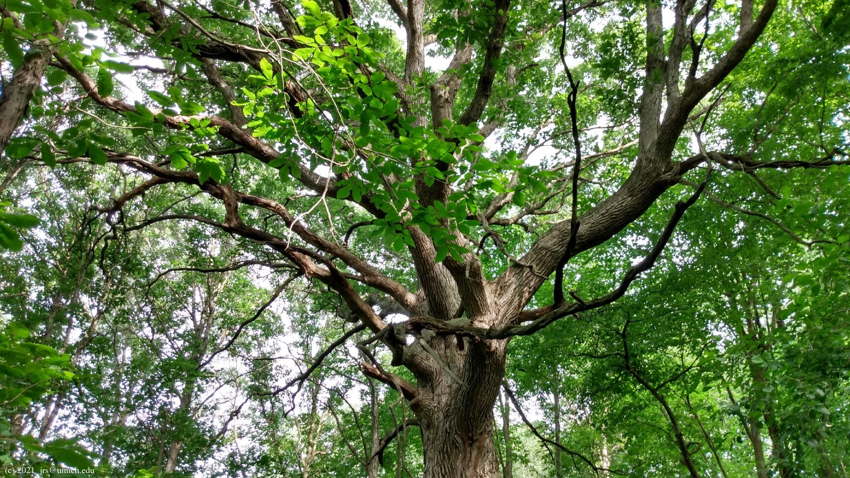
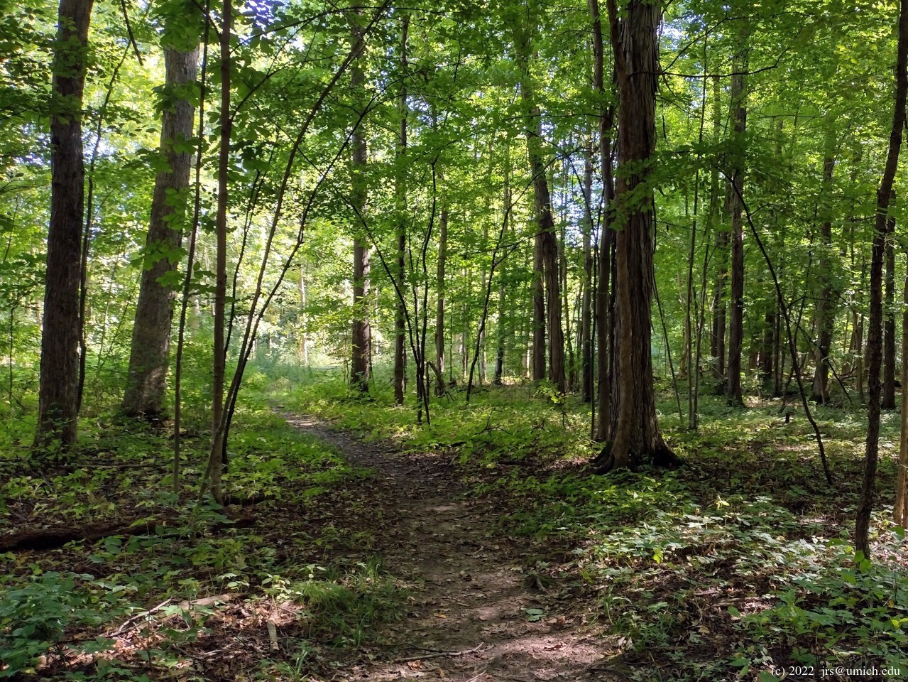
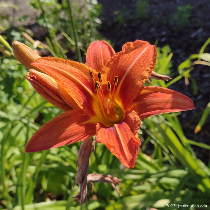
The northern hike: If you start from the Marton Road parking lot, a grand tour around the perimeter of the loops labeled A through E on the main trail map is about 2.8 miles long. Perhaps one of those miles is forested; the rest is (depending on the season) a meander through meadows filled with wildflowers. Butterflies are abundant here -- I have noticed several different species during my visits.
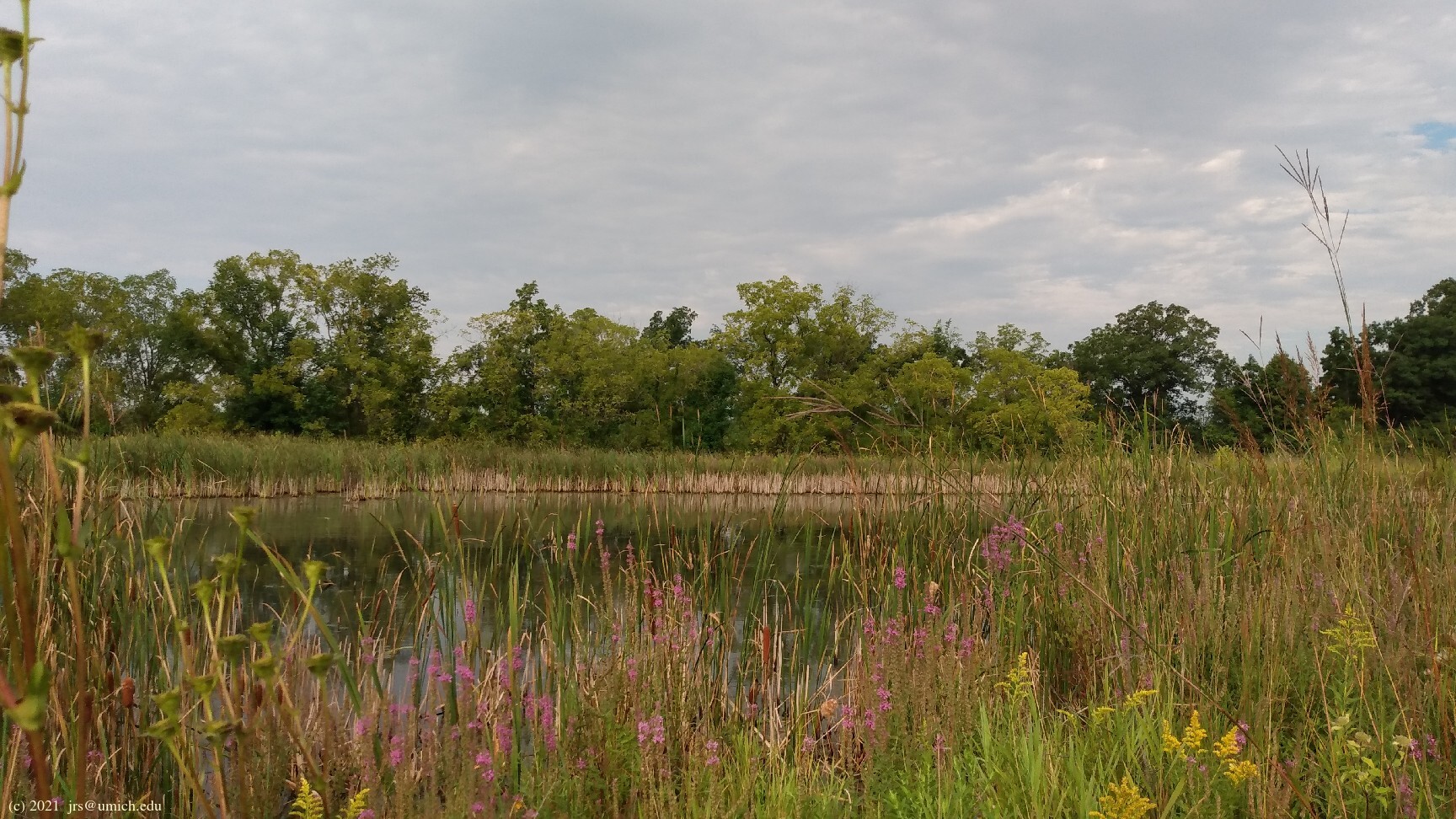
You will also pass by wetlands at several points along the way.
As a result, you should expect a few muddy spots on the trail
unless you are visiting after an extended period of dry weather
or in icy conditions.
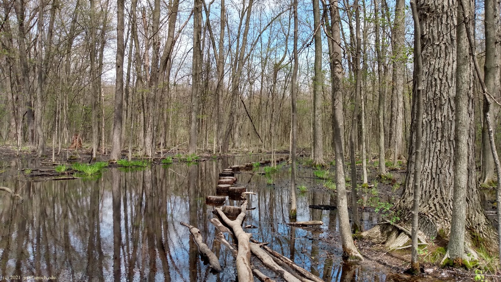
Loop C has two places where the trail tends to get flooded;
strategically placed logs and
stepping
stones  made from tree trunk slices are provided. A walking stick could
be useful here.
made from tree trunk slices are provided. A walking stick could
be useful here.
I've saved a map of this route on
MapPedometer .
The southern hike: Starting from Marsh View Meadows, I recommend a counterclockwise grand tour through the trails there (i.e., favor the right-hand option at each fork). This will take you through parts of the loops labeled E, D, C, and B in the park brochure. These trails are wide and gravelly, passing through woods and marshes with occasional boardwalks and observation decks. After about 1 mile, you will be headed north along the eastern side of the B loop ("Woodland Way"), and will discover that the trail no longer conforms to the map. It ends abruptly at Textile Road.
You will also see the reason for this abrupt end: the
Platt-Textile Greenway ,
a new (as of August 2019) ten foot wide non-motorized asphalt path
running parallel to Textile Road. Although the trail map is not
up to date in this regard, the OpenStreetMap does show the greenway
and where it connects with the (now modified) trail network.
I recommend walking east on the greenway for 0.7 miles to the head of the Old Hickory Trail. Along the way, look for a sign on the north side of Textile marking an entrance to the northern portion of the Pittsfield Preserve. Actually there are two entrances; both are situated west of Campbell Road. [Update: The second of these two entrances has been reconfigured to line up precisely with a crosswalk at Campbell.] You can dash over there now or on your way back from Old Hickory if you'd like to take a 1/2 mile side trip through the meadows there (Loop E on the main trail map).
The Old Hickory Trail (Loop F on the main trail map) is a path of 1/2 mile whose northernmost 200 feet are now buried underneath the Platt-Textile Greenway. It is possible to enter the trail from either of the two unmarked spots where it emerges from the greenway, but you may find it easier to enter via the trailhead adjacent to the parking lot.
After about 0.2 miles starting from the trailhead,
you will arrive at an intersection.
Straight ahead will be a dead end offering views of farmland.
On your left is a spur trail that will take you out
of the Pittsfield Preserve and into the tiny (16 acre)
Harwood Heritage Preserve ,
ending in a meadow at US-12. This spur trail is not without
charm ,
and will add about 1/4 mile to your hike.
On your right at the intersection is the second half of the loop,
taking you back to a point where the trail disappears into the greenway.
For the return to Marsh View Meadows, retrace your steps on the greenway and continue west beyond the point where you originally joined. You will soon reach a paved fork. Taking the right branch will return you to the parking lot; the left branch returns to the park's B loop. Depending on whether you include the loop north of Textile and/or the Harwood Heritage spur, this hike will be about 3.25 to 4 miles long.
I've saved a map of this route on
MapPedometer .
Directions: From downtown Ann Arbor, head south on State, passing through the roundabout at Ellsworth.
If your destination is the Marton Road trailhead, turn left (east) at the next traffic light, onto Morgan Road. After crossing the railroad tracks, turn right (south) onto Marton Road. Cross a second set of railroad tracks (this time with no gate control!) and after another 500 feet or so you'll see a small parking lot for the preserve on your left.
If your destination is Marsh View Meadows, stay on State for another mile and turn left (east) onto Textile Road. The entrance to the park will be on your right just after you cross the railroad tracks.
Excerpts from the websites: In late April, 2002, Pittsfield Charter Township completed the purchase of 535 acres of new parkland, located north of Michigan Ave., and bounded by Morgan, Marton, and Platt Road[s]. This township acquisition, historic in both its size and richness of natural features, straddles two watersheds -- the Huron River, and the Saline River, a tributary of the River Raisin. The park holds a Great Blue Heron colony of over 40 nests, a buttonbush swamp harboring threatened species, and numerous small wetlands, woods and meadows.
The new parkland surrounds the township's previously acquired P.G. Palmer Park, 39 acres of woodland, wetlands, and open field, and the Morgan Road pump station, on 20 acres of mature woods. The Park Commission is working to create a master plan for the new park, incorporating trails and nature observation, and facilities for active recreation.
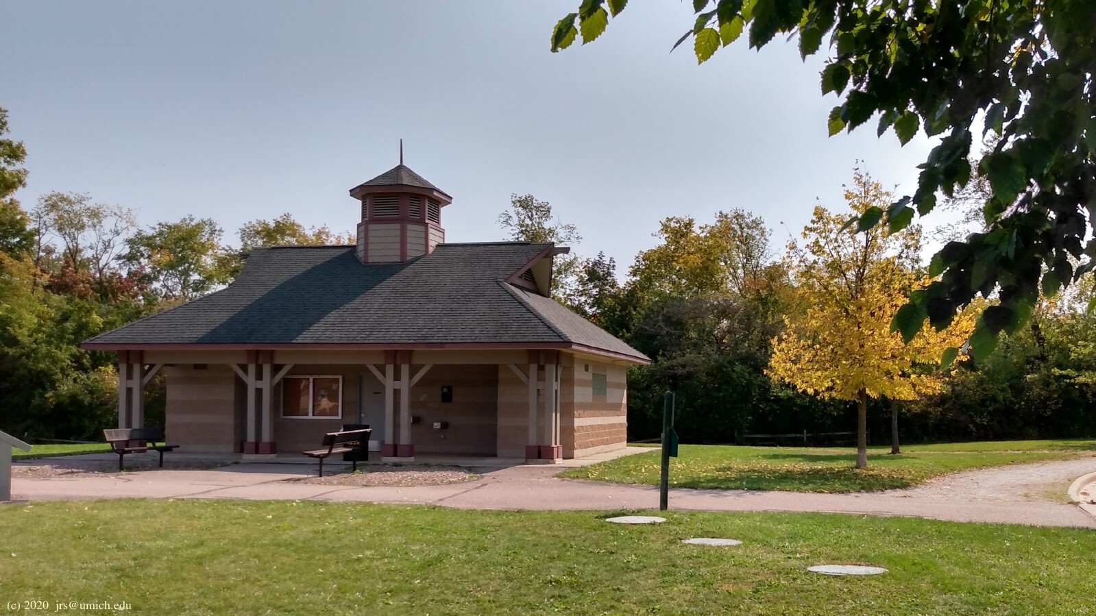
Marsh View Meadows Park is one of the township's newest parks. [It] includes 2 miles of ADA accessible 8' wide nature trails, trail benches, 2 playground structures, 2 wildlife observation decks, a boardwalk through a sedge meadow, restroom facility, picnic pavilion, interpretive and directional signage, 50 car parking lot, large play field, and landscaping. This park is quite unique to our relatively flat township topography because of the up and down terrain, and the 3 distinct wetland/buttonbush swamp areas.