 ,
OpenStreetMap
 )
)

 ,
OpenStreetMap
 )
)

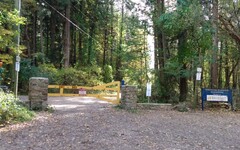
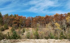
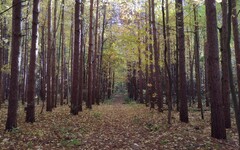
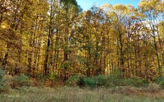
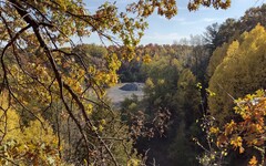
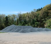
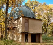
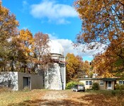
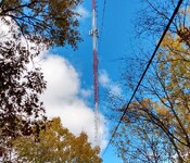
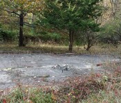
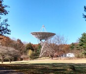
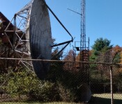
Landmarks: the gravel pit, observatories, antenna,
sawmill foundation, radio telescopes, and old car.

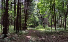
Overview: Stinchfield Woods is a large University of Michigan property sandwiched between the Pinckney State Recreation Area and Hudson Mills Metropark. While it is primarily a site for university research and education, it has an extensive network of trails open to the public that make it a paradise for hikers.
A number of landmarks are hidden inside the property, including
the WUOM radio tower, two radio telescopes and two observatories (no longer
in service), the foundation of an old sawmill, and a small WCRC
gravel pit. The observatories are located near the summit
of the oddly named Peach Mountain. (This ain't no mountain, but
there were peach trees here once  .)
Mountain or not, you should not be surprised when you encounter a
few steep trail segments on your hike.
The trail map seems reasonably accurate (aside from the mis-measured scale noted above), and provides numerous options for creating arbitrarily long hikes. Even if you limit your explorations to the eastern or western half of the trail system, you can easily end up with a 5 or 6 mile hike.
Bearing in mind the complexity of the network and the lack of trail markers, a compass or GPS app may be a worthwhile accessory.
Leashed dogs are allowed, but no bikes and no hunting.
Parking:
The site has several gated entrances for pedestrians and
service vehicles, but only the
north side entrance  on Stinchfield Woods Road has any nearby spaces for parking.
These spaces are often taken, although there is quite a bit more space
for those willing to park on the shoulder.
An alternative strategy involves the use of parking lots 1/2 mile south of the site:
 on North Territorial Road.
 ,
also on North Territorial, about 500 feet farther west.
 . I've saved a copy of this route on
MapPedometer
  .
.
Caution:
A previous access point on the south side involved the use of a nearby
driveway  for the Dexter Animal Clinic and a
gated
roadway
  leading into the gravel pit.
However, as of 2022, there seems to have been a change of
ownership. The gate now has a
"No Trespassing"
sign
  posted.
Directions: From the west side of Ann Arbor, take Dexter Avenue west to Dexter. Along the way, this road will change its name a few times, ultimately becoming Main Street. On your way out of Dexter, keep to the right and go through the one-lane underpass below the railroad. This is Island Lake Road. It soon forks, with the right branch being Dexter-Pinckney Road. Take Dexter-Pinckney north about 3.5 miles to the intersection with North Territorial Road.
From the east side of Ann Arbor, you may prefer to reach this intersection by taking US-23 north to North Territorial (Exit 49). The intersection with Dexter-Pinckney is about 8 miles west of this exit.
Excerpts from the website: Stinchfield Woods ... is a larger area where training in forest and sustainable ecosystem management takes place. The land was acquired in piecemeal fashion beginning in 1925. Now it comprises 777 acres of rolling hills reforested with hardwoods and evergreens. It serves as a field research area for demonstration of forest and sustainable ecosystem management for SEAS faculty and students.
[The property] was deeded to the U-M in memory of the Jacob and Charles Stinchfield of Detroit. The Stinchfield brothers were descendants of the lumbermen that harvested Michigan’s giant white pine in the nineteenth century.
[It] is largely forested, though there are some old fields and open areas. Forests include 281 acres of native hardwoods (mixed oak-hickory forest) and 372 acres of conifer plantations, which were planted after acquisition on cleared land and on low quality or poorly stocked hardwood sites.
Elevations range from 880 to 1058 feet above sea level (the top of Peach Mountain, the highest point in SE Michigan). The variable elevation creates slopes which average 30 degrees for a 200 foot run. The topography reflects the effects of glaciation, including kames, moraines, and outwash areas. There is no surface water (lakes or streams) due to naturally draining topography and well drained soils.