 ,
OpenStreetMap
 Trail map (2024 PDF),
on-site map
(2023 JPG)

 ,
OpenStreetMap
 Trail map (2024 PDF),
on-site map
(2023 JPG)

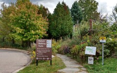
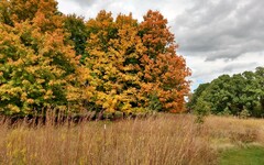
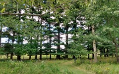
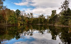
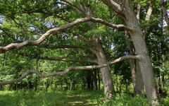
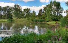
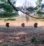


Comments: The Matthaei Botanical Gardens (MBG) have a lot to offer, and as a result it can get a bit too busy on sunny weekends if a quiet encounter with nature is your priority. The trail network features two large ponds, a creek, a bit of prairie, and woods with an impressive variety of trees.
A grand tour using the trail segments on the perimeter of the network is
about 2 miles long. In addition, there are interesting trail segments in the
interior running roughly north-south for about 1/2 mile on either side of
Fleming
Creek  .
There are bridges across the creek near Trail Markers 2 and 6 that
connect these trails, making it possible to supplement your perimeter hike
by heading upstream on one side of the creek and downstream on the other.
I've saved a route map for a 3.3 mile tour that illustrates one of
many ways to do this on
MapPedometer
  .
.
If you want to see even more of Fleming Creek, consider walking south to Parker Mill County Park along the paved pathway that runs parallel to Dixboro Road [see Hike 18A].
Dogs and bikes are not allowed on the trails.
Updates:
* There have been a few tweaks in the MBG trail network in recent years, including a reconfiguration of the trail segment that runs along the east side of Fleming Creek. Also, the trail markers have been relocated (and renumbered) and the maps posted at these markers have been updated.
*
The bridge at Trail Marker 2 was closed for quite some time,
dating back at least to December 2020. However,
I am happy to report that as of September 2023, there is a
new
bridge  in place at this location.
*
(Fall 2023) Some beavers have moved in and are making themselves
at home. Look for the
dam  they have established on Fleming Creek. It is located about halfway
between the two bridges and is easy to see from either side of the creek.
You'll also notice their teeth marks on a number of trees in the vicinity.
 There's an interesting post about the beavers on the
MBG blog
  .
.
Directions: From downtown Ann Arbor, head north on Division, crossing the Huron River at the Broadway Bridge. Continue northwest on Plymouth Road for another 4.5 miles. Turn right (south) onto Dixboro Road and look for the entrance to MBG on your left after about 1/2 mile.
There is ample parking, but it is not free ($2.50/hr).
Excerpts from the website: Trails winding past stunning natural features have been part of the Botanical Gardens’ Dixboro Road site since before its development in the early 1960s. Starting east of [the Visitor Center] and heading across the boardwalk over the constructed wetland, visitors will see the Trail Head Information Station.
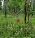
Dix Pond Trail is a great place to take an exploratory hike or go bird watching, given the range of habitats. On rare occasions, visitors may see a fox. Explore the natural changes that have occurred since a series of farming and gravel operations ended on this property by the 1940s. The large namesake pond is a long abandoned gravel pit that was dredged below the water table.
The Fleming Creek Trail provides some of the best views up and down Fleming Creek. In season, kingfishers are frequently seen flying along the creek. The diverse former floodplain forest was not lumbered -- it was too swampy -- but the tree stumps are mute testimony to what happened and why parts of the floodplain are so open now. Invasive exotic pests have killed all the majestic American elms (Ulmus americana) that dominated the swamp until the 1960s.